Fort Henry (2)
|
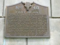
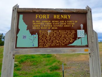
Fort Henry (2) (1810-1811) - Established in 1810 by Andrew Henry, Pierre Menard, John Colter and a group of possibly 60 men for the Missouri Fur Company and Manuel Lisa in Fremont County, Idaho. Abandoned the next year, 1811. Also called Henry's Post.
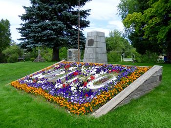
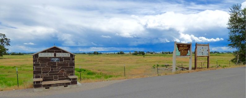
HistoryBuilt as two log cabins and a dirt cellar during the winter of 1810-1811 and abandoned in the spring of 1911. Built by Andrew Henry, Pierre Menard, John Colter and a group of some 60 men for the Missouri Fur Company and Manuel Lisa. Use by members of the Astor's overland expedition of the Pacific Fur Company in September 1811. Current Status Fort Henry Memorial: The site in Anthony is located at American Legion Park on South Bridge Street at the bridge over Henry’s Fork River. Very easy to miss, park in the gas station on the south side of the river and you will be there. Fort Henry Markers: Big reader board type signs located out of town on Salem Road just before it crosses Henry’s Fork river near the actual site. Fort Henry Location: Out in the middle of a field with a stone marker. No access that I could Find.
Some confusion exists over the naming of the forts created by Manuel Lisa and his company, exact locations are unknown for some of them and this has led to further confusion. The forts and their locations are detailed below:
See Also: Sources:
Links: Visited: 13 Jul 2015
| ||||||||||||||||||||||||||||||||||||||||||||||


