Fort Piegan (1)
|
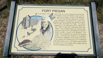
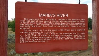
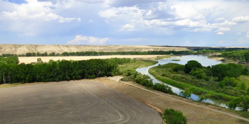
History of Fort PieganEstablished in fall of 1831 at the mouth of Maria's River on the north bank of the Missouri River, near the present day town of Loma in Chouteau County. The site had been used by the Lewis and Clark Expedition on 3 Jun 1805 on their way to the Pacific coast. Maria's River was so named by Meriwether Lewis after Miss Maria Wood, Lewis's cousin. Over time the apostrophe has been dropped and the river is now known as Marias River. Kipp's fort had three large log buildings surrounded by a 25 foot high stockade that was 110 foot square. He jump started his trading business by providing the Indians with Blackfoot rum and quickly assembled over 6000 pounds of beaver pelts. In the spring of 1832 Kipp and his 75 men returned to Fort Union with the pelts, leaving the fort unoccupied. The pelts brought the company some $46,000. While Kipp was gone, the Indians burned down his unoccupied fort. As a replacement, the American Fur Company built a new fort about six miles further up the Missouri River and named it Fort McKenzie. Current StatusThe exact site of the fort is not known and may have been obliterated by the shifting river banks. Two sets of markers commemorate the fort, one is located on Hwy 87 just before it crosses the Marias River and the other is located on the hill overlooking the confluence of the Maria's River and the Missouri River. This hill is known as Decision Point where Lewis and Clark decided which river to follow. One of the six intrepetive panels at the top of the hill is devoted to Fort Piegan.
See Also: Sources:
Links: Visited: 14 Aug 2016
|


