Fort Lawrence (3)
|
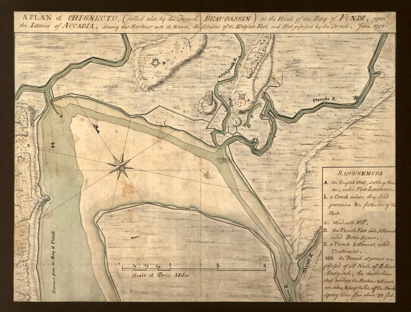
Fort Lawrence (3) (1750-1755) - A British post established in 1750 during Father Le Loutre's War by British Major Charles Lawrence. Located near the present day town of Fort Lawrence, Nova Scotia, Canada. Named for British Major Charles Lawrence. Abandoned in 1755 in favor of the captured French Fort Beausejour. Destroyed by fire in 1756.
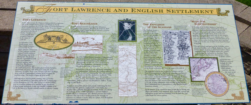
Father Le Loutre's WarEstablished in September 1750 during Father Le Loutre's War by British Major Charles Lawrence as a part of the British takeover of Nova Scotia. In the spring of 1750, a British Army expeditionary force under Major Lawrence arrived at the French Acadian village of Beaubassin on the Isthmus of Chignecto, Nova Scotia. The French priest Jean-Louis Le Loutre had ordered the village burnt down to deprive the British of any shelter or supplies. The British forces withdrew after they found themselves outnumbered by the Acadians and their Mi'kmaq Indian allies. Lawrence returned in September 1750 with a larger force and defeated the Acadians in the Battle at Chignecto. Lawrence then built Fort Lawrence, as a palisade fort on a ridge east of the Missaguash River. The structure was completed by Captain John Handfield and on 15 Aug 1752, Lt. Colonel Robert Monckton took command. The French Acadians then built, in 1751, an opposing Fort Beausejour just across the Missaguash River to counter Fort Lawrence. The Missaguash River was then the boundary between French and British territory. French & Indian WarA large force of British regulars and New England Militia arrived by ship in 1755, they captured Fort Beausejour on 16 Jun 1755. The other French fort on the Isthmus, Fort Gaspareaux, surrendered without being attacked. British forces abandoned Fort Lawrence and moved into the captured Fort Beausejour and used Fort Lawrence to house captured male Acadians. On 1 Oct 1755 the Acadian prisoners at Fort Lawrence escaped and the British then burned it down on 12 Oct 1756 to keep it from being used by the local peoples. 
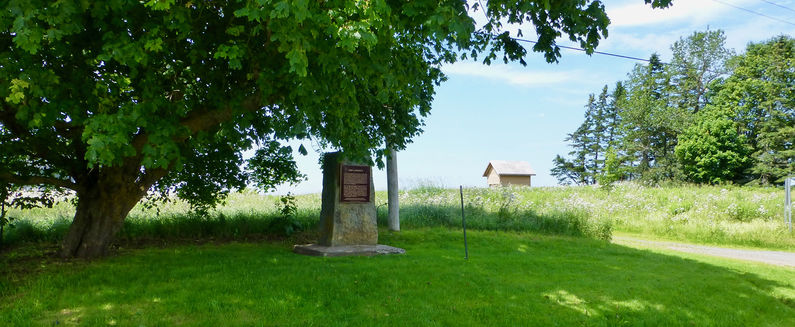
Current StatusMarker and archeological ruins only at the site. The nearby Nova Scotia Welcome center offers reader boards and markers. 
See Also: Sources: Links:
Visited: 9 Jul 2013
| ||||||
