Fort Beausejour
|
Fort Beausejour (1751-1835) - A French colonial fort established in 1751 during Father Le Loutre's War in present day Aulac, Westmorland County, New Brunswick, Canada. Captured by the British in 1755 during the French & Indian War and renamed Fort Cumberland . Abandoned by the British in 1835. History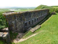 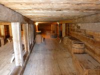 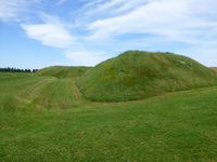 Established by the French in August 1751 during Father Le Loutre's War in response to the British establishment of Fort Lawrence across the Isthmus of Chignecto. The Isthmus of Chignecto forms the only land bridge between present day Canadian provinces of New Brunswick and Nova Scotia. The French Fort Beausejour was built as a star shaped earthworks fortification on a commanding hill overlooking the Isthmus of Chignecto. The fort was built under the supervision of Lieutenant Gaspard-Joseph de Lery as a pentagon with bastions at each angle and 15' high earthworks. Inside the fort were four casemates, a powder magazine, an enlisted barracks and officer's quarters. The fort was not designed to withstand a siege by heavy artillery and held only a detachment sized garrison of about 150 troops. A second fort, known as Fort Gaspareaux, was built nearby on the French controlled Baie Verte as a supply point for ships from Fortress Quebec and Fortress Louisbourg. The British controlled the Bay of Fundy on the other side of the Ismus and Fort Beausejour could not be supplied from that direction. During the French & Indian War the Fort was captured in June 1755 by British and colonial forces after a two-week siege. The British force under Lieutenant Colonel Robert Monckton numbered some 270 British regulars and 2,000 New England colonials against French with some 150 regulars and about 250 Acadians. The British landed at a point between Fort Beausejour and Fort Gaspareaux cutting off any relief from the outside. Fort Beausejour surrendered after two weeks of siege on 16 Jun 1755. The fort was then used during the deportation of Acadians starting in 1755 partially as a result of the Acadians participation in the siege. The British rebuilt and expanded the fort and renamed it Fort Cumberland. During the Revolutionary War the British garrison successfully defended the fort in November 1776 against a group of American Patriots under Jonathan Eddy. Many in the attacking force were captured and later exchanged back in New England. During the War of 1812 the fort was reinforced but was not attacked. The post was abandoned in 1835 and declared a national historic site in 1926.
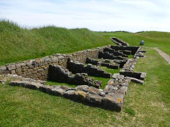
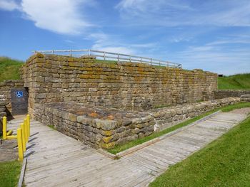
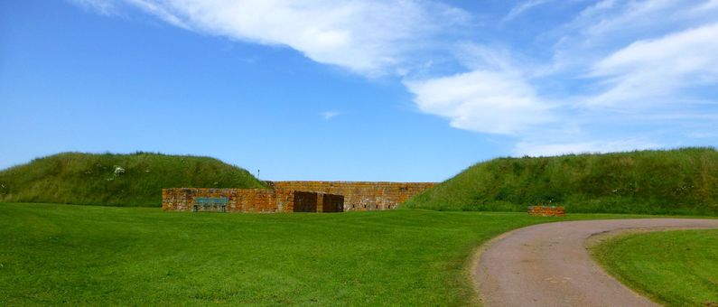
Current Status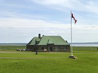 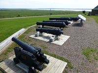 Fort Beausejour – Fort Cumberland National Historic Site of Canada, Aulac, Westmorland County, New Brunswick, Canada. Excellent visitor center and museum. Three reconstructed casemates, excavated barracks foundations, stone curtain wall and partial magazine reconstruction. The casemates come from both the French and British periods. No cannons mounted inside fort but a line of period cannons, some mounted, outside the visitor center.
See Also: Sources: Links:
Visited: 9 Jul 2013 |
