Fort Gaspareaux
|
Fort Gaspareaux (1751-1756) - A British colonial fort established in 1751 during the Father Le Loutre's War in present day Westmorland County, New Brunswick, Canada. Captured by the British on 17 Jun 1755 during the French & Indian War and renamed Fort Monckton after Lieutenant Colonel Robert Monckton. Abandoned by the British in 1756 and burned down by them.
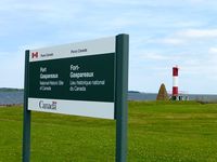
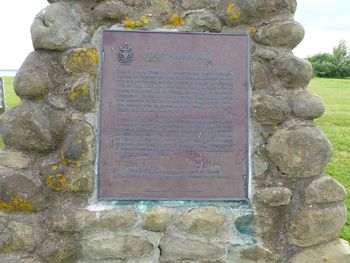
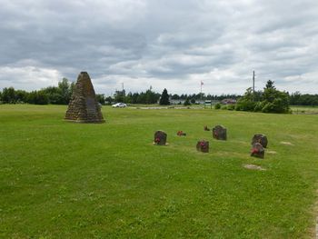
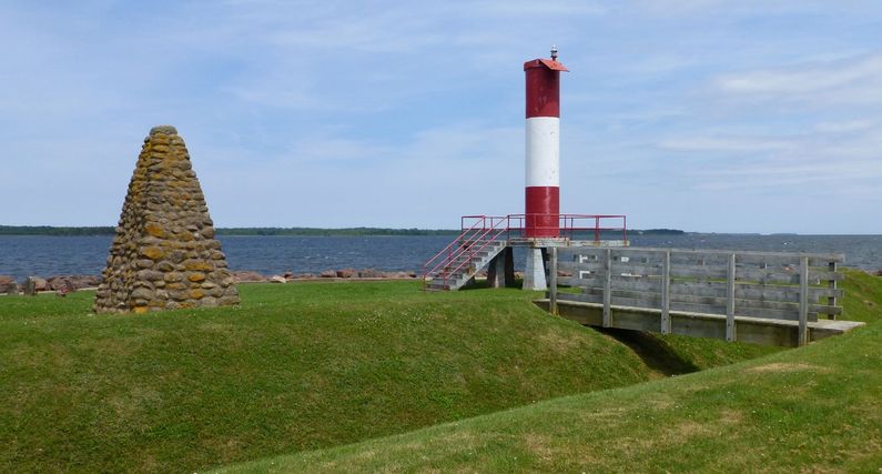
History of Fort GaspareauxEstablished by French troops in 1751. Fort Gaspareaux was built on the French controlled Baie Verte as a supply point for nearby Fort Beausejour. Ships from Fortress Quebec and Fortress Louisbourg would unload supplies and troops at Fort Gaspareaux for transit to Fort Beausejour and other locations. Fort Beausejour guarded the Isthmus of Chignecto, the land bridge between present day Canadian provinces of New Brunswick and Nova Scotia. The British controlled the Bay of Fundy on the other side of the Ismus and Fort Beausejour could not be supplied from that direction. The fort was built as a 180' square palisade with four blockhouse bastions at the angles. Buildings included a guardhouse, powder magazine, barracks, and a storehouse. Fort Gaspareaux was captured by British General Monckton's army on 17 Jun 1755 the day after Fort Beausejour surrendered. The garrison of 19 French soldiers at Gaspareaux was no match for British Colonel John Winslow's superior force. The British took possession of the Fort and named it Fort Monckton for Colonel Monckton. The British abandoned the fort and burn it down in September 1756. Current Status Fort Gaspareaux National Historic Site, Port Elgin, Westmorland County, New Brunswick, Canada. The site now contains a large stone cairn with an attached historical maker and the graves of 9 Provincial soldiers killed in 1756, the grave stones are unreadable. The site of the fort is marked with a low earthworks and a ditch. The site does not have a visitor center and has no interpretive signs except the actual historical marker.
See Also: Sources: Links: Visited: 10 Jul 2013
| ||||||


