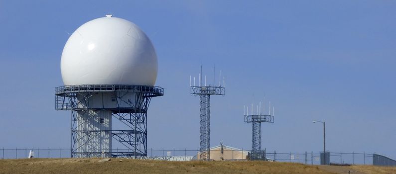
Bootlegger Ridge FAA Radar Site
|
Bootlegger Ridge FAA Radar Site (1997-Active) - A FAA Radar Site first established in 1997 near Great Falls, Cascade County, Montana. Initially assigned a JSS ID of J-77A and a FAA ID of ZGTF. Active FAA Radar Site.
HistoryThis site was commissioned on 4 Nov 1997 as a FAA/USAF joint-use long range radar site, furnishing radar track data to both air traffic controllers at the Salt Lake City Utah Air Route Traffic Control Center (ARTCC) and USAF Direction Centers. Initially equipped with ARSR-4 radar equipment that cost over $12 million dollars. This site was a replacement for the joint-use Malmstrom AFB FAA Radar Site J-77 site. The radar site data is now available to the USAF/NORAD Battle Control System-Fixed (BCS-F) operations centers (EADS & WADS) as well as the FAA Salt Lake City ARTCC (ZLC) and adjacent ARTCCs. Other federal agencies have access to the data under the Homeland Security umbrella.
|
||||||||||||||
