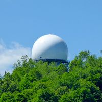
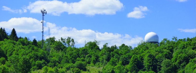
Remsen FAA Radar Site
|
History The FAA established this site as a long range radar site in 1974. The site became an FAA/ADC joint-use site in 1979, replacing the deactivated Watertown Air Force Station. The new site furnished radar track data to both the FAA and to USAF Direction Centers. The initial FPS-66A search radar equipment was modified to become an ARSR-60 and later replaced with an ARSR-4 in the late 1990s. A FPS-116 height-finder radar was initially installed in 1979. In 1982 the FPS-116 height finder was supported by USAF operating location OLAM 21st ADS with 6 USAF operations personnel. The FPS-116 was removed about 1988. By 1990 the site was equipped with an ARSR-60 search radar and a CD-2A Common Digitizer. The Remsen CD-2 was scheduled to receive an upgrade kit to implement three level weather data processing in September 1992. With the installation of the ARSR-4 3D radar in the late 1990s, the CD-2 common digitizer was no longer required because the digitization functionality was built into the ARSR-4. The current configuration of the site includes the ARSR-4 radar and an ATCBI-6M Beacon set. The radar site data is now available to the USAF/NORAD Battle Control System-Fixed (BCS-F) operations centers (EADS & WADS) as well as the FAA Boston ARTCC (ZBW) and adjacent ARTCCs. Other federal agencies have access to the data under the Homeland Security umbrella.
Current StatusActive facility near Remsen, Oneida County, New York.
See Also:
Sources:
Links:
Visited: 17 Jun 2016
| |||||||||||||||||||
