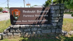
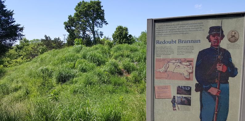
Redoubt Brannan
|
Redoubt Brannan (1863-1866) - A Union U.S. Civil War Redoubt established in 1863 as a part of Fortress Rosecrans in present day Murfreesboro, Rutherford County, Tennessee. Named Redoubt Brannan after Brigadier General John M. Brannan. The Redoubt was abandoned in 1866 after the end of the war when Fortress Rosecrans was abandoned.
History of Redoubt BrannanAfter the Union army occupied Murfreesboro, Tennessee in January 1863, Major General William S. Rosecrans, (Cullum 1115), Commander of the Army of the Cumberland, gave his chief engineer Brigadier General USV James St. Clair Morton, (Cullum 1495), the job of designing and constructing what became Fortress Rosecrans. Morton planned a large enclosed fortification of over 200 acres that occupied both the north and south sides of the Stones River at Murfreesboro and included an important road junction and a rail line. Redoubt Brannan and the other three redoubts at Fortress Rosecrans were earthworks, each containing a central cross-shaped blockhouse that provided a final stronghold in case the works were overrun. Each redoubt was considered a fort in itself and the defense plan indicated that each should be manned continuously with doors barred and with sufficient numbers to defend it. The commander was to be held responsible for a vigorous resistance to any enemy attack. The redoubt was strategically placed within rifle shot of the old Nashville Pike and the Nashville to Chattanooga rail line, right where they cross the West Branch of the Stones River. The road and the rail line were each vitally important as supply lines for Union forces. An inspection report dated 14 Jan 1864 indicated that the battery at Redoubt Brannan was under the command of 2nd Lieutenant J.D. Williams, 9th Michigan Infantry and was armed with three 30 pounder Parrot guns, two 12 pounder field guns and one 8" siege howitzer. Redoubt Brannan was abandoned in 1866 after the end of the war when Fortress Rosecrans was abandoned. Current StatusEarthworks remains and several markers located on West College Street. Access to the interior of the redoubt is provided by a walkway through the original sallyport. No remains of the original interior blockhouse or the gun platforms. Now a part of the Stones River National Battlefield, Fortress Rosecrans park system administered by the National Park Service. A visitor center is located within the Stones River National Battlefield near the National Cemetery.
See Also: Sources:
Visited: 15 May 2016
| ||||||


