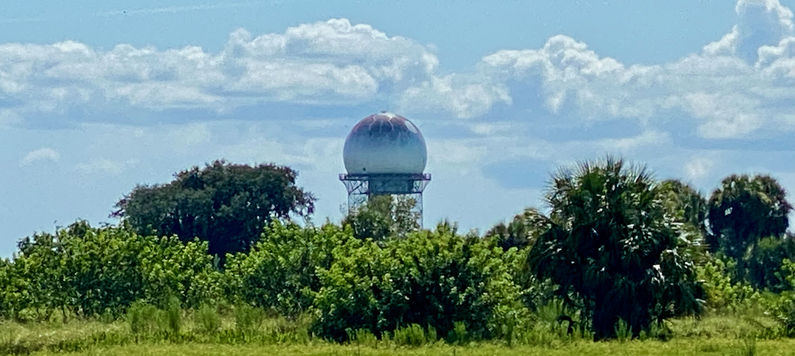
Melbourne FAA Radar Site
|
Melbourne FAA Radar Site (1998-Active) - A Federal Aviation Administration (FAA) Long Range Radar (LRR) site first established in 1998 near Melbourne, Osceola County, Florida. The site is used to identify and track military and civilian aircraft movements within a 200-mile radius and to provide air-ground radio communication with those aircraft. Assigned an FAA ID of MLB. Active FAA Radar Site.
HistoryThis site became an FAA radar site in 1998, furnishing radar track data to the FAA ARTCCs and to USAF Direction Centers. The initial FAA ARSR-4 search radar has remained in operation since it was installed. The radar site data is now available to the USAF/NORAD Battle Control System-Fixed (BCS-F) operations centers (EADS & WADS) as well as the FAA Jacksonville ARTCC (ZJX) and adjacent ARTCCs. Other federal agencies have access to the data under the Homeland Security umbrella.
|
|||||||||||||||||
