Fort Wagner (1)
|
Fort Wagner (1) (1862-1865) - A Confederate U.S. Civil War post established in 1862 on Morris Island, Charleston County, South Carolina. Captured in 1863 by Union forces and renamed Fort Strong. Abandoned at the end of the war in 1865. Also known as Battery Wagner.
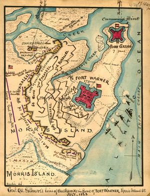
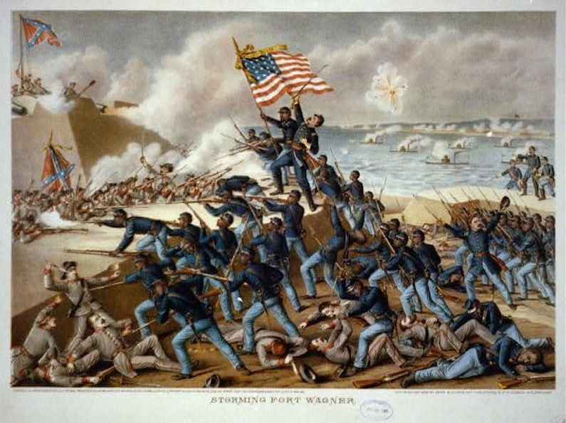
History Fort Wagner was a 14 gun Confederate earthworks fort built at a strategic point across the neck of Morris Island to provide landside protection for the two forts on Cummings Point, Fort Gregg and Fort Chatfield. Cummings point had a direct view of Fort Sumter and the south entrance to Charleston Harbor. Fort Wagner spanned the whole neck of Morris Island, from the ocean on the east side and a swamp on the west side. The placement of the fort made it very difficult to assault and allowed only one regiment at a time to approach. On 11 Jun 1863, Union Brig. General Quincy Gillmore attempted to capture Fort Wagner to use it against nearby Fort Sumter. Gillmore's first assault with one brigade failed. At dusk on 18 Jul 1863, the 54th Massachusetts Infantry, a black regiment, stormed and captured the outer rifle-pits surrounding the fort with heavy losses. Colonel Robert Gould Shaw their commander was killed. Nine other regiments in two brigades scaled the parapet, succeeded in entering the fort but were thrown back. Union forces then resorted to siege operations to reduce the fort and its defenses. After 60 days of shelling Confederate forces abandoned the fort on 7 Sep 1863. The fort was renamed Fort Strong.
Current StatusNo remains on Morris Island, Charleston County, South Carolina. The 1989 film "Glory" is about the 54th Massachusetts Infantry, the all-black (except for the officers) regiment, and it includes their heroic actions at Fort Wagner. The film was nominated for five Academy Awards and won three.
See Also: Sources:
Links:
Visited: No
| ||||||
