Fort Sedgwick (3)
|
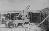
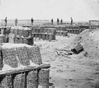
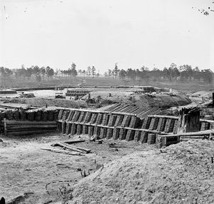
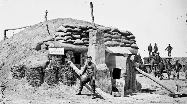
Fort Sedgwick (3) (1864-1865) - A Union U.S. Civil War Fort established in 1864 near Petersburg, Petersburg City, Virginia. Named Fort Sedgwick after Union General John Sedgwick (Cullum 914), who was killed by a Confederate sharpshooter near Spotsylvania on 9 May 1864. Abandoned in 1865 at the end of the war. Also known as Fort Hell.
History of Fort Sedgwick Established in mid July 1864 as a Union seige line fort at Petersburg, Virginia. Located across and blocking what was then the strategic Jerusalem Plank road, the main north-south road in and out of Petersburg. The Confederate Fort Mahone was located six hundred yards to the northwest and constant fire was exchanged between the two forts and the picket lines. As a part of the Union siege line, Fort Sedgwick was situated between Fort Davis to the south and Fort Rice to the east and connected to them with entrenchments..

Fort Sedgwick was abandoned in 1865 at the end of the war. Current StatusNo remains. The ruins of this fort were in place and partly open as a tourist attraction until 1967 when it was overbuilt by a mall and parking lot.
See Also: Sources: Links:
Visited: Area 2 Apr 2012
| ||||||


