Fort Davis (6)
|
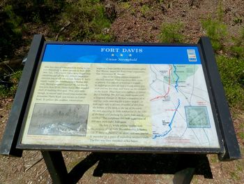
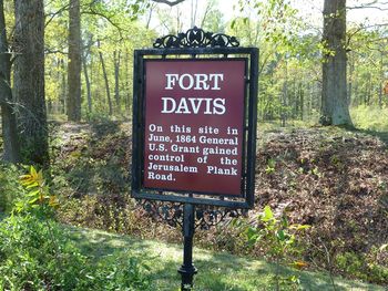
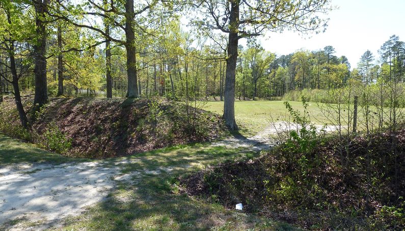
HistoryEstablished in 1864 by Union forces as a square earthworks redoubt, with a diagonal "parados traverse" in the middle. This traverse was designed to block shells that fell into the fort interior from damaging the magazines and to protect personnel. The fort was positioned at a strategic point along the Union trench lines blocking the Jerusalem Plank Road just south of Fort Sedgwick. This was a large earthworks fort covering about three acres of ground and capable of holding a full brigade. The fort was surrounded by a trench twenty feet wide and ten feet deep, with the ramparts inside this trench. The fort mounted eight guns and held a garrison of some 550 men. The fort was abandoned in 1865 at the end of the war. Current StatusRemains of the earthworks and the ditch. One marker is located near where the sallyport was located (Marker 2) and a more descriptive interpretive sign is located on the other side of the fort (Marker 1). The outline of the central traverse can also be seen.
See Also: Sources: Links:
Visited: 2 Apr 2012
| ||||||


