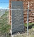
Fort Sanders (1)
|
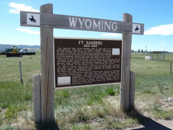
Fort Sanders (1) (1866-1882) - Established as Fort John Buford by Major James S. Brisbin 10 Jul 1866 for Major General John Buford (Cullum 1384). Renamed Fort Sanders 5 Sep 1866 for Brigadier General William P. Sanders (Cullum 1751). Abandoned 22 May 1882 and transferred to the Interior Department 22 Aug 1882. Not infrequently called "Fort Saunders", but wrongly.
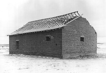
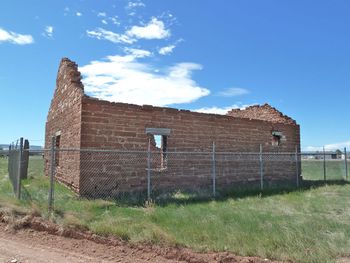
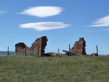
HistoryThis post was originally built to protect the Overland Stage Route, the Cherokee and Lodgepole Creek emigrant trails as well as military supply routes but the most important mission was to escort and protect the crews surveying and constructing the Union Pacific Railroad. The railroad arrived at nearby Laramie in May 1868. The troops at the fort were involved in 20 major engagements over the years. Fort Sanders was originally built as a four-company post with both infantry and cavalry units. Materials to build the barracks, officers' quarters, and kitchens were obtained from the closed posts, Fort Halleck (1) and Fort Collins (1). Buildings were constructed of logs according to standard U.S. Army plans except for the guardhouse and the magazine which were built of local stone. The stable was 223 feet long and held ninety horses. The post had a 600' by 500' parade ground. The post was later expanded to house six companies. With the end of Indian hostilities in the 1870s, the completion of the Union Pacific Railroad, and the resulting decline in emigrant traffic, the need for the fort ended, and the post was abandoned in May 1882. Current StatusThe ruins of the Fort Sanders Guardhouse and the ruins of the Powder Magazine are the only structures remaining. U.S. Route 287 bisects the old post and the remains of the Powder magazine can be seen from the road marker to the Northeast. The guardhouse ruins are west of the road marker on the west side of U.S. 287 but not visible from the marker. Access to the guardhouse is from Fort Sanders Road to Kiowa Road, Fort Sanders Road parallels U.S. 287.
Sources:
Links: Visited: 6 Jun 2010 Picture Gallery
|
[Category:2010 Northern Trip]]
