Fort Reno (2)
|
Fort Reno (2) (1865-1868) - Established first as Fort Conner by the 6th Michigan Cavalry on 14 Aug 1865 and named for their commander Brigadier General Patrick Connor. It was constructed as a supply depot during the Powder River Expeditions. The name was changed to Fort Reno on 11 Nov 1865 after Major General Jesse L. Reno (Cullum 1279), who was killed in the U.S. Civil War at the Battle of South Mountain. Abandoned in 1868 as a result of the Laramie Treaty.
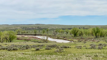
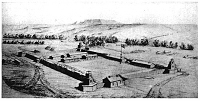
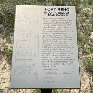
HistoryFort Reno was located on a high plateau above the banks of the Powder River, near the mouth of Dry Fork Creek. It was surrounded by eight-foot wood stockade, 120 ' square, with bastions on the northwest and southeast corners for protection. During the fall of 1865, workers constructed other buildings outside of the stockade, including two barracks, two officers' quarters, hospital, shops, teamsters' quarters, and two sutler's buildings. All of the buildings had sod-covered roofs and dirt floors. Water obtained by wagon from Powder River. Wood obtained locally. In Aug 1865, Companies C and D of the 5th U.S. Volunteers, and Company A, Omaha Scouts, relieved the Michigan cavalry. Under the command of Capt. George M. Bailey, they garrisoned the isolated fort during the harsh winter of 1865–66. During Red Cloud's War the following summer, Col. Henry B. Carrington of the 18th U.S. Infantry led a force of 700 men into the Powder River country to begin construction of two other new posts farther to the north. They reached Fort Reno on June 28, 1866, and stayed two weeks. When he left on July 9, Carrington left behind two companies to replace the existing volunteer garrison. The newly arrived Regular Army soldiers constructed a log stockade around the unprotected garrison buildings, complete with log bastions . They also built a sturdy adobe commander's quarters. In 1867, the post was renovated and expanded. The garrison (whose number ranged from 125 to a high of 300 soldiers). Chief Red Cloud redoubled his efforts in the spring of 1867 against the three northern forts and travel on the Bozeman Trail was all but cut off. For over a year the southern forts had scarcely any communication from Fort C.F. Smith (1) except from one band of Crows that reported all was well. As a result of the military reversals and increasing pressure from the Indians under Red Cloud the U.S. Government capitulated and negotiated the 1868 Treaty of Fort Laramie, which resulted in the abandonment of the three northern forts (Fort Reno (2), Fort Phil Kearny, and Fort C.F. Smith (1)) and the cessation of travel on the Bozeman Trail. The Sioux Indians destroyed the three forts immediately after the troops had left the country. Fort Reno was abandoned on 18 Aug 1868 under provisions of the 1868 Fort Laramie Treaty.
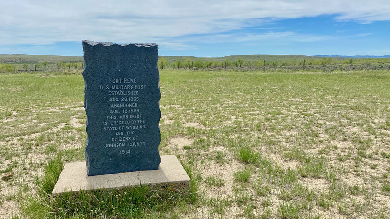
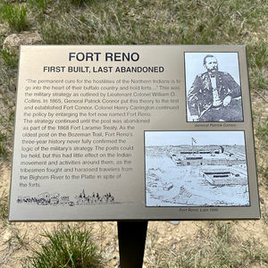
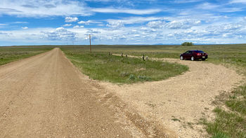
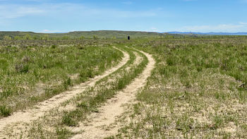
Current StatusThe site, approximately 12 miles northeast of Sussex, Johnson County, Wyoming on Lower Sussex Road. Listed on the National Register of Historic Places on March 28, 1970. There is a large stone monument and several interpretive signs marking the site.
Sources:
Links: Visited: 28 May 2021
|
