Fort C.F. Smith (1)
|
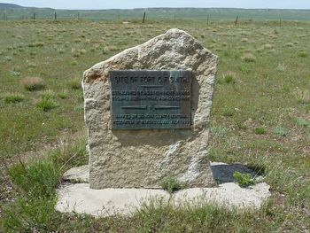
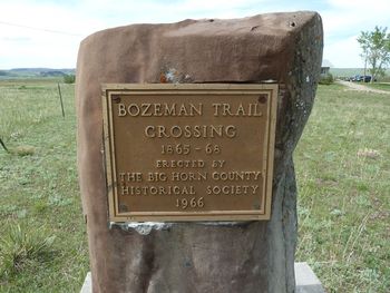
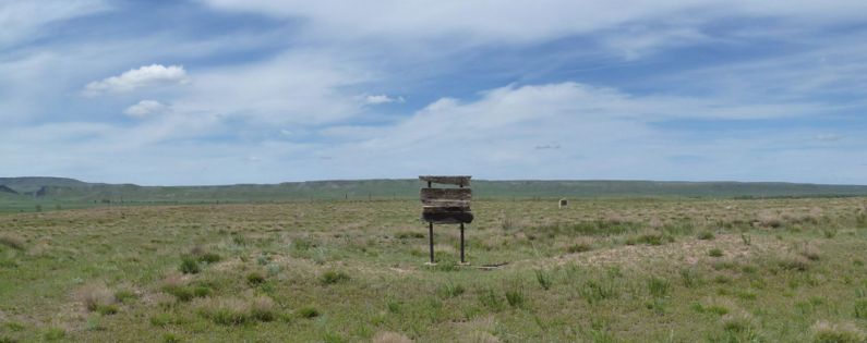
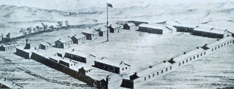
Fort C.F. Smith (1866-1868) - Established 12 Aug 1866 by two companies of the 18th U.S. Infantry under the command of Bvt. Lieutenant Nathaniel C. Kinney to protect immigrants traveling the Bozeman Trail from attacks by the Sioux Indians. The fort was initially named Fort Ransom (1) after Brigadier General Thomas E.G. Ransom who died 29 Oct 1864. It was renamed for General Charles Ferguson Smith, a Union general under General Ulysses S. Grant, who died in 1862. Abandoned in 1868. HistoryThree forts were established along the central stretch of the Bozeman Trail to guard about 700 miles of the trail. Fort C.F. Smith (1) was one of the most remote of these forts and came under frequent attack. In the severe Montana winters, the fort was cut off for months at a time. The fort itself was about 125 yards square, two sides being built of bluff adobe and the other two of logs. It was located on the east side of the river on an elevated plateau, 300 yards from the River Bank. The Bozeman Trail crossed the Bighorn River by ferry within 800 yards of the fort. On 21 Dec 1866 Capt. W. J. Fetterman, while going to the relief of a wood train near Fort Phil Kearny, was himself cut off and his entire force of 81 men and officers slaughtered. After the Fetterman Massacre, more troops were sent to Fort C.F. Smith (1) under the command of Gen. John E. Smith and the fort was strengthened. Chief Red Cloud redoubled his efforts in the spring of 1867 against the three northern forts and travel on the Bozeman Trail was all but cut off. For over a year the southern forts had scarcely any communication from Fort C.F. Smith (1) except from one band of Crows that reported all was well. As a result of the military reversals and increasing pressure from the Indians under Red Cloud the U.S. Government capitulated and negotiated the 1868 Treaty of Fort Laramie, which resulted in the abandonment of the three northern forts (Fort Reno (2), Fort Phil Kearny, and Fort C.F. Smith (1)) and the cessation of travel on the Bozeman Trail. The Sioux Indians destroyed the three forts immediately after the troops had left the country. The fort was abandoned on 29 Jun 1868 under General Order 80, 19 May 1868, Dept. of the Platte. Current StatusThe site is on private land and visitors may see it by making prior arrangements at the Yellowtail Dam Visitor Center. (Located at the dam, the visitor center is operated by the National Park Service and Bureau of Reclamation. It is open in the summer.)
Sources:
Links: Fortification ID:
|


