Fort Lamar (1)
|
HistoryA Confederate six-gun earthwork first established in 1862 at a narrow neck on the Secessionville Peninsula of James Island, South Carolina. This earthworks and battery anchored the southernmost point on the left flank of a line of Confederate defenses that stretched across James Island from Fort Pemberton (2) on the west side to Fort Johnson (1) on the east side. The Confederate James Island defenses were put in place to defend that land approach to Charleston. The Battle of Secessionville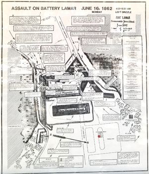 In June 1862, 6,600 Union troops under the overall command of Brigadier General Henry Benham with Brigadier-Generals Horatio G. Wright and Isaac I. Stevens landed at Grimball's Landing near the southern flank of the Confederate defenses. Benham's commanders probed the defenses of Fort Lamar (or Tower Battery as it was known then) and then attacked at 4:30 am on 16 Jun 1862. The Confederate fort, under the command of Colonel Thomas Lamar, was still unfinished at this point and had but 500 or so defenders. There was only one narrow approach road to the fort with the remainder of the peninsula surrounded by impenetrable marshes. The Union troops came in two columns, one behind the other because of the narrow approach and they received withering fire from Confederate cannons loaded with grapeshot. Other Union units attempted to approach from the marshes and were likewise cut down with heavy fire. Union troops of the 79th New York Volunteer Infantry under Lt. Colonel David Morrison succeeded in scaling the fort wall and the fighting became hand-to-hand combat. The Union forces were overcome when their reinforcements failed to arrive and they fell back. A general retreat was ordered and the battle was over in less than an hour. Abandoned at the end of the war probably on 17 Feb 1865 when all of the Charleston defences were abandoned.
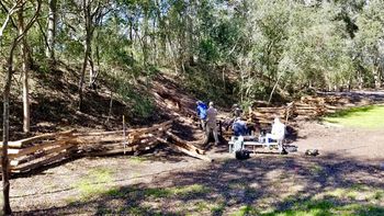
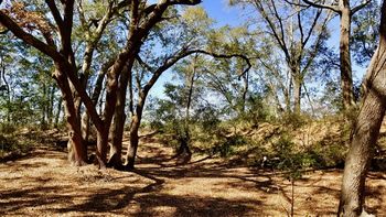
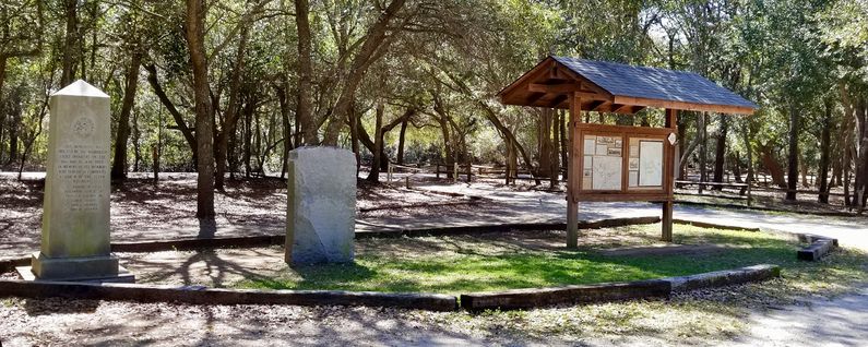
Current Status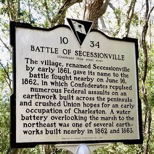 Now a part of Fort Lamar Heritage Preserve. Part of the fort and the surrounding battlefield are preserved. Within the fort boundaries, earthworks and the remains of two bombproofs/magazines can clearly be seen. One of those bombproof/magazine earthworks was undergoing an archeological dig during our 2018 visit.
See Also: Sources:
Links:
Visited: 27 Feb 2018
| ||||||
