Fort Halifax (1)
| More information at Warlike, Wikidata, Wikipedia
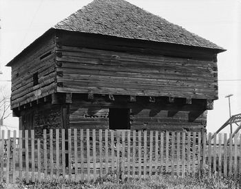
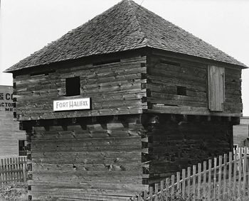
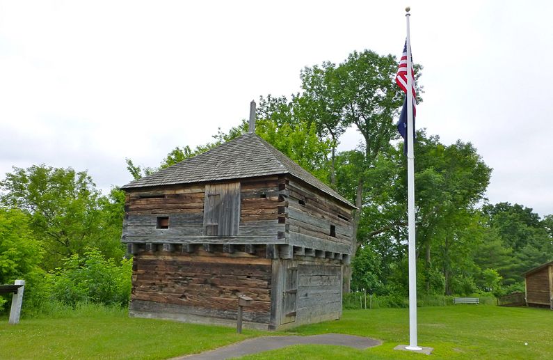
Fort Halifax (1) (1754-1766, 1775-1778) - A British colonial fort established in 1754 by General John Winslow and militia troops during the French & Indian War by the Province of Massachusetts Bay in present-day Winslow, Aroostook County, Maine. Occupied by Colonel Benedict Arnold's Canadian expedition in 1775 during the Revolutionary War. Abandoned in 1778.
French & Indian War (1754-1763)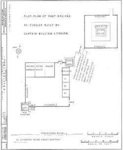 A British colonial fort established on 25 Jul 1754 by British militia under General John Winslow during the French & Indian War. Major General John Winslow arrived from Fort Western with 600 men and constructed a fortified complex. The design and construction were completed under the supervision of Captain William Lithgow. The complex consisted of a 120' square stockade with two blockhouses on opposing corners, a barracks, a watchtower and the main building housing the officers, a supply warehouse and armory. Two additional blockhouses were built about 1025' away on nearby hills overlooking the main complex. The fort was located at a strategic point at the confluence of the Kennebec River and the Sebasticook River with the aim of keeping the French and their Indian allies from reaching British settlements in the Kennebec River Valley.
Revolutionary War (1775-1783)The remains of the old fort were occupied by Colonel Benedict Arnold's Canadian expedition in 1775 during the Revolutionary War. Benedict Arnold was on his way to lay siege to Quebec and used Fort Halifax as a supply point. Abandoned in 1778 and demolished in 1797 except for one blockhouse. Current Status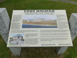 One original blockhouse is all that remains of the Fort. This blockhouse was washed away by a flood on 1 Apr 1987 but crews recovered the logs and reconstructed the blockhouse. A National Historic Landmark and State Historic Site in Aroostook County, Maine.
Sources:
Links: Visited: 16 Jun 2012
| ||||||
