File:SCR-296A Installation.jpg
Jump to navigation
Jump to search
Size of this preview: 800 × 571 pixels. Other resolution: 1,315 × 938 pixels.
Original file (1,315 × 938 pixels, file size: 356 KB, MIME type: image/jpeg)
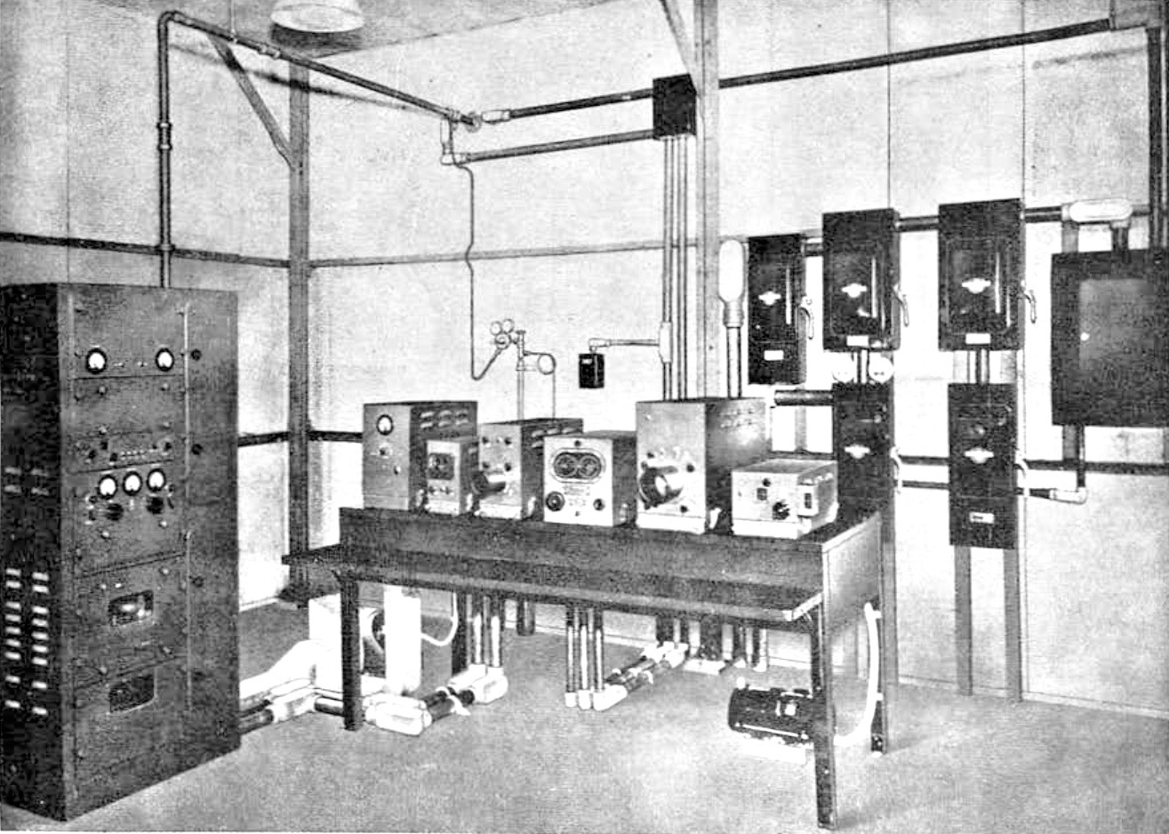
SCR-296A Radar Set Installation, public domain FM-4-95 15 Sep 1943
File history
Click on a date/time to view the file as it appeared at that time.
| Date/Time | Thumbnail | Dimensions | User | Comment | |
|---|---|---|---|---|---|
| current | 15:23, 23 May 2017 | | 1,315 × 938 (356 KB) | John Stanton (talk | contribs) | SCR-296A Radar Set Installation, public domain FM-4-95 15 Sep 1943 |
You cannot overwrite this file.
File usage
The following 23 pages use this file:
- Bethany Beach WWII Radar Site (1)
- Cape May WWII Radar Site
- Devil's Slide WWII Radar Site
- Elder Point WWII Radar Site
- Fort Canby WWII Radar Site
- Fort Crockett WWII Radar Site
- Fort Ebey WWII Radar Site
- Fort Miles WWII Radar Site (2)
- Fort Moultrie WWII Radar Site (3)
- Fort San Jacinto WWII Radar Site (2)
- Fort Stevens WWII Radar Site
- Fort Travis WWII Radar Site
- Fort Worden WWII Radar Site (2)
- Gordon's Pond WWII Radar Site
- Hill 640 WWII Radar Site
- Marshall MR WWII Radar Site
- Milagra Ridge WWII Radar Site
- North Head WWII Radar Site (2)
- Rehoboth Bay WWII Radar Site
- SCR-296-A
- Salt Ponds WWII Radar Site
- Ulakata Head WWII Radar Site (2)
- Wildcat Ridge WWII Radar Site