Eldorado Air Force Station
|
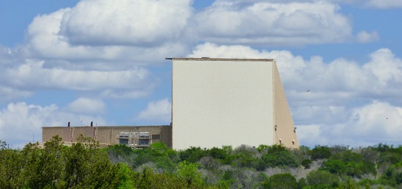
Eldorado Air Force Station (1987-1995) - A Cold War Air Force Radar Station first established in 1987 near Eldorado, Schleicher County, Texas. Known as a PAVE PAWS radar site built to detect submarine launched ballistic missiles in the southern Pacific Ocean. Named Eldorado Air Force Station after the nearby town. Abandoned in 1995.
History Established in 1987 and became operational in 1987 as Eldorado Air Force Station manned by the 8th Space Warning Squadron. Initial equipment included two FPS-115 radar sets mounted in pyramid shaped building. The two PAVE PAWS FPS-115 radars were housed in a 105-foot high building with three sides, two of which were active. Each of the two active sides contained 1,800 individual radar transmitters and receivers. The active sides were tilted back 20 degrees to allow for an elevation deflection from 3 to 85 degrees above the horizon. A computer-controlled the activation of individual radar elements providing a moving radar beam The 8th Missile Warning Squadron was activated on 1 Apr 1986, at El Dorado Air Force Station, Texas, under Air Force Space Command. The unit was re-designated as the 8th Space Warning Squadron on 15 May 1992. It was re-assigned to the 21st Space Wing on 8 June 1995, before inactivating on 30 Sep 1995. Eldorado Air Force Station closed in 1995 and was placed in standby status. Portions of the FPS-115 radars from Eldorado AFS were then sent to a new installation at Clear AFS, Alaska. Reportedly, both 102-foot transmitter/receiver arrays along with cabinets and computers were sent to Clear AFS for the new installation leaving only the diesel generators and air handling equipment in place at Eldorado AFS.
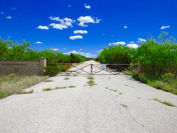
Current StatusAbandoned Radar site near Eldorado, Schleicher County, Texas.
See Also: Sources:
Links:
Visited: 27 Apr 2015
| |||||||


