Camp Rice (2)
|
Camp Rice (2) (1942-1944) - A World War II desert training camp established in 1942 near Freda in San Bernardino County, California. Abandoned in 1944.
HistoryEstablished in 1942 as one of fifteen temporary World War II training camps in the southern California and Arizona desert areas. These training camps formed what was initially known as the Desert Training Center and then as the California-Arizona Maneuver Area after 20 Oct 1943. As the war entered a new phase in 1944, the camps were closed and training was discontinued on 30 Apr 1944. 
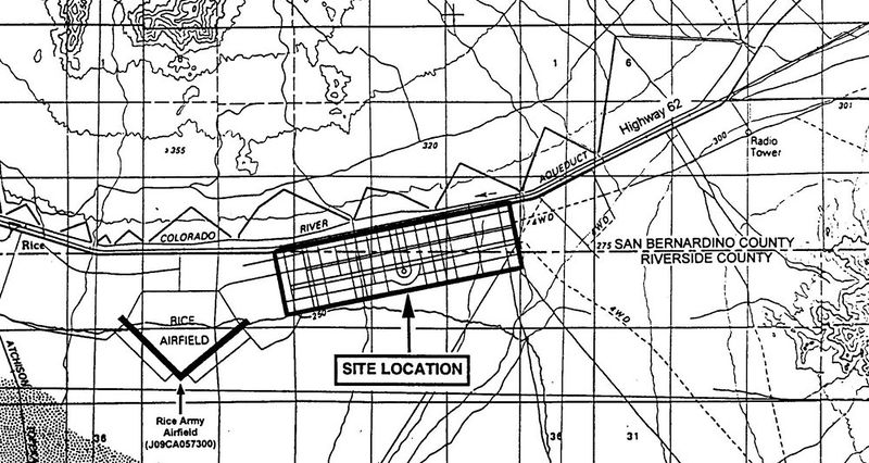
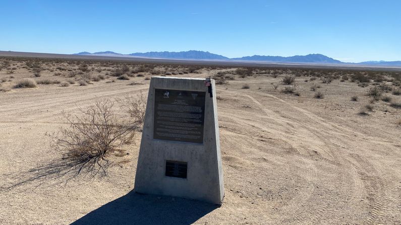
ClosureCamp Rice was declared surplus on 16 Mar 1944 and The Army retransferred the 1,920-acre site to the BLM by means unknown. No documentation is available for the disposal of this property which is expected to have occurred sometime between 1943 and the late 1940s, Leased land was returned to the various owners. Post WarRestricted use of the land continued after the war while the U.S. Army Corps of Engineers (USACE) supervised the cleanup of the hazardous material and the removal of temporary facilities. Current StatusThe Army retransferred the 1,920-acre site to the BLM by means unknown. No documentation is available for the disposal of this property which is expected to have occurred sometime between 1943 and the late 1940s. There are some surface remains including some dirt roads and rock-lined paths. The outline of the camp road structure and the airstrip can still be seen from satellite views. The camp area is diagonally bisected by the San Bernardino and Riverside County line and bounded on the north by Hwy 62 and the Colorado River Aqueduct. A monument to the camp sits next to Hwy 62 near the entrance road to the camp.
See Also: Sources:
Links: Fortification ID:
Visited: 27 Nov 2022
| |||||||
