Camp John A. Rucker
|
Camp John A. Rucker (1878-1896) - A U.S. Army Camp established in 1878 as Camp Supply in present-day Cochise County, Arizona. Renamed Camp Powers and by December 1878 renamed named Camp John A. Rucker for 1st Lt. John Anthony Rucker who drowned with a fellow officer while crossing a rain-swollen river near the camp. The camp was abandoned in 1880 and used intermittently until 1896. Also known as Camp Rucker.
History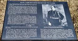 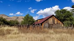 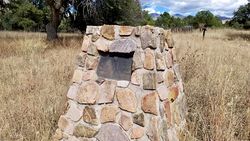 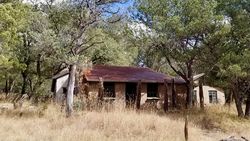 Established on 29 Apr 1878 at the old San Bernardino Ranch and named Camp Supply. The name changed to Camp Powers early in 1878, and by December 1878, the name was changed to Camp John A. Rucker. The post was named for 1st Lt. John Anthony Rucker who drowned while attempting to rescue 1st Lt. Austin Henley, who was swept away while crossing a rain-swollen river near the camp on 11 Jul 1878, both were lost. Lt. Rucker was the son of MG Daniel H Rucker, United States Army, and a brother-in-law of General Philip H. Sheridan (Cullum 1612). Lt. Rucker and Lt. Henley each commanded a company of Apache Indian scouts at the post and had been classmates in the Military Academy at West Point, class of 1872. Henley graduated, but Rucker was deficient in math and French and failed to graduate. Rucker was then directly commissioned; the two were reunited at the camp. The camp was first established at the old San Bernardino Ranch in Cochise County to support troops pursuing the Chiricahua Apache Indians along the Mexican Border. The camp was later moved six miles up on the White River. Camp Rucker was abandoned on 4 Nov 1880 and the garrison was removed to Fort Apache. The last post-return was made in October 1880. The camp may have been used as a temporary camp through the 1890s.
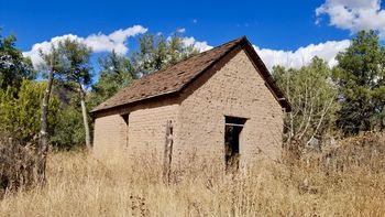
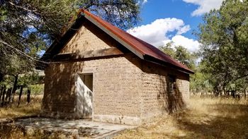
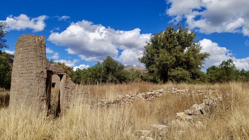
Current Status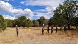 Some remains on Coronado National Forest land in Cochise County, Arizona. A ranch house, a barn, and other buildings are still standing. The commissary building has foundational remains and a part of one corner that is still visible. The officer's quarters and the bakery building are still standing but appear modified. There are no road signs announcing the camp entrance and it is easily missed. No structures are visible from the road and all you have to guide you to the camp are the tire tracks leading from the gate. The tracks curve gently to the left and come to a creek crossing filled with rocks. As you cross the creek the barn comes into view and then the ranch house. Overgrown pathways lead you through the field behind the barn where you will find the other remaining buildings. At the center of this field is the Camp memorial cairn. From the cairn, you can see most of the remaining structures and the small mounted interpretive plaques.
Sources:
Fortification ID:
Visited: 4 Nov 2019
| |||||||
