Battery Hobart
|
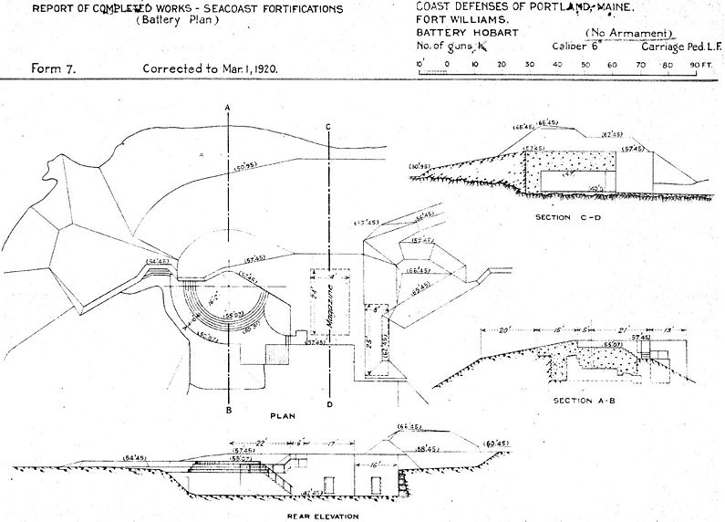
Battery Hobart (1900-1913) - Battery Hobart was a reinforced concrete, Endicott Period 6 inch coastal gun battery on Fort Williams (1), Cumberland County, Maine. The battery was named in G.O. 78, 25 May 1903, after 1st Lt. Henry A. Hobart (Cullum 56), U.S. Light Artillery, who was killed 27 May 1813, at Fort George, Upper Canada. Battery construction started in 1898, was completed in 1898 and transferred to the Coast Artillery for use 6 Jan 1900 at a cost of $ 6,545.33. Deactivated in 1913. Assigned Location ID ME00075.
Endicott Period (1890-1910)Part of the Harbor Defense of Portland, Maine. Originally built as an Endicott Period concrete coastal gun battery with a single 6" M1898 Armstrong gun (40 caliber) mounted on M1898 Pedestal carriages. This was a two-story battery with a gun located on the upper level and the magazine below. Shells were moved from the magazine level to the gun loading platform by hand. No shell or powder hoists were provided. Electrical power was furnished by the central power plant. This gun and carriage were transferred to Fort Kamehameha in Honolulu, Hawaii, on 23 Aug 1913.

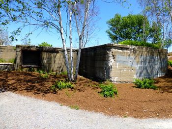
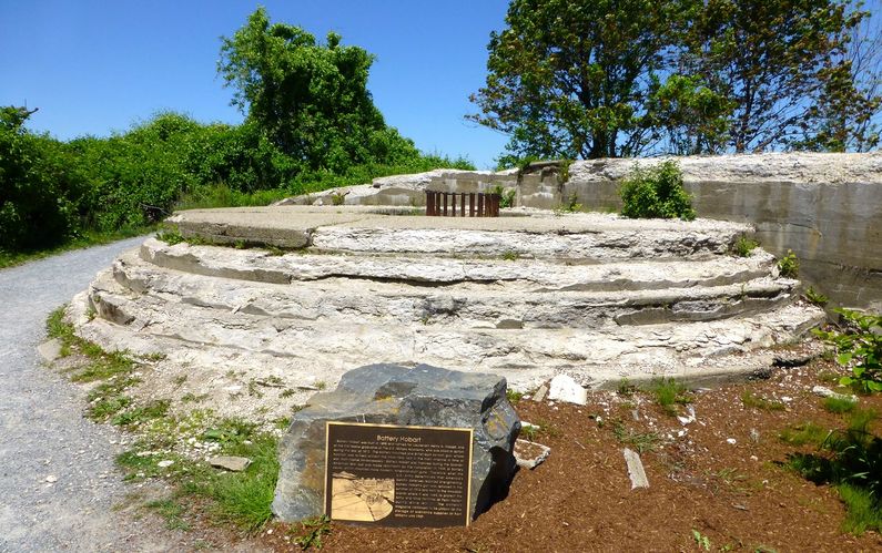
Current StatusPart of Fort Williams Park, Cape Elizabeth, Cumberland County, Maine. No period guns or mounts in place.
Sources: Links: Visited: 5 Jun 2013
| ||||||||||||||||||||||||||||||||||||


