Battery 108
|
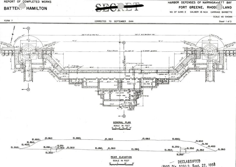
Battery 108 (1943-1948) - Battery 108 was a reinforced concrete, World War II 16 inch coastal gun battery on Fort Greene (2), Washington County, Rhode Island. The battery was renamed Battery Hamilton. Battery construction started 20 Sep 1940, was completed 1 Nov 1942 and transferred to the Coast Artillery for use 19 Apr 1943 at a cost of $ 1,183,715. Deactivated in 1948. World War IIPart of the Harbor Defense of Narragansett Bay. Originally built as a World War II casemated concrete coastal gun battery with two 16" MarkII-M1 guns mounted on M4 barbette carriages. This battery was a single level battery with the guns located on the same level as the central magazine. Each gun emplacement was casemated with heavy, reinforced concrete overhead protection and earth covering. The central magazine was built between and connecting the gun emplacements so that the powder and shells could be brought directly to the guns using overhead tracks and chain hoists. See 16" Rifle MarkII-M1. Proof firing of the 16" guns on of Battery 108 on the East Reservation took place February-August 1943. A total of 15 rounds were fired in February and another 3 rounds in August.

Current StatusPrivate and city land. No period guns or mounts in place.
Sources:
Links: Visited: No
| ||||||||||||||||||||||||||||||||||||||||||