Adair Air Force Station
|
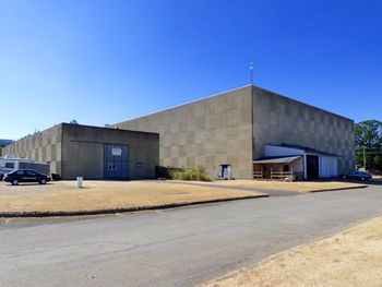
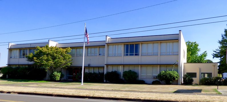
History 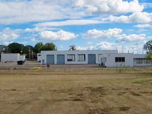 The Portland Air Defense Sector (POADS) at Adair Air Force Station was activated on 8 Jun 1958 and on 15 Mar 1960 it assumed control over five radar sites and two fighter groups in Washington and Oregon. Adair Air Force station was the headquarters of POADS. By 18 Jun 1960, POADS had reached full operational status with the Air Defense Command (ADC) and the North American Air Defense System (NORAD) with two fighter groups, five radar sites, and eleven unmanned gap-filler radar sites. The mission of POADS at Adair was to process data from the five radar sites and the eleven gap-filler radar sites and to direct fighter-interceptor aircraft to intercept any potential enemy aircraft. Adair AFS had three functional areas, an operational area, a cantonment area, and a married personnel housing area. The operational area was dominated by a three-story windowless concrete blockhouse that housed the computer and communications equipment and the personnel that operated them. This blockhouse was known as Adair SAGE Direction Center DC-13. Behind the direction center was a long building housing the six, 650KW diesel generators that ran the site. The cantonment area housed the headquarters, unaccompanied personnel quarters for officers and airmen, dining halls, recreational facilities, and other support facilities. The base housing area had 150 family housing units for accompanied married personnel. Adair AFS had some 860 Air Force officers and enlisted men and 150 civilian support personnel when fully manned. With no nearby military support base the station was self-sufficient with barracks, dining halls, housing, commissary, and base exchanges. Advances in technology and the enormous cost of running the SAGE system resulted in many reorganizations and consolidations within the SAGE system. Adair AFS was designated for eventual closure in 1966 but remained operational until 15 Sep 1969. With the closure of the Air Force Station, the facilities and land were returned to civilian control and the site became a part of the Adair Village community.
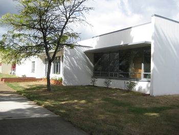
Current StatusNow within the community of Adair Village. Many of the cantonment area buildings remain intact but repurposed for use by the Santiam Christian School and other organizations. In the operations area, the three-story concrete SAGE building remains in use by a private company and as a storage site. The large generator power building in the back of the SAGE building is in use by the 4 Spirits Distillery. The base housing area is under individual private ownership.
See Also: Sources:
Links: Fortification ID:
Visited: 16 Aug 2015, 23 Sep 2007
| |||||||||||||||||||||||||||||||||||||||||||||||||||||||
