Yuma Proving Ground
|
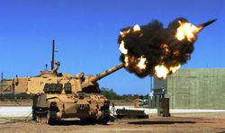
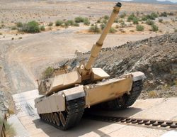
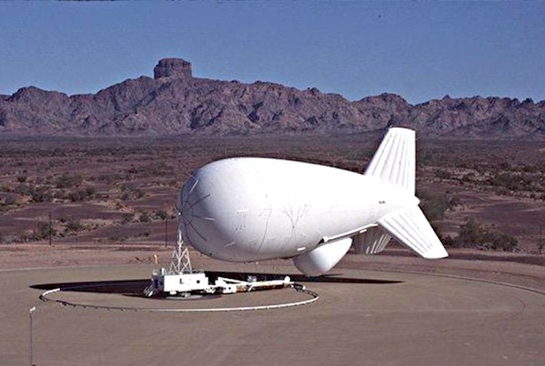
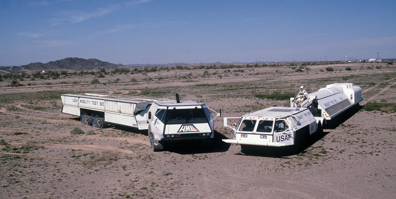
Yuma Test Branch (1943-1950)The U.S. Army Corps of Engineers opened the Yuma Test Branch near the present site of the proving ground below Laguna Dam on the Colorado River in 1943. This location was first used for the testing of portable combat bridges because of the abundance of swift-flowing water that engineers could control. The Army established Camp Laguna a few miles to the west to train troops in mechanized warfare. Camp Laguna was one of 12 major U.S. Army desert training camps in the California-Arizona Maneuver Area (CAMA). An 18,000 square mile area chosen by General George S. Patton, this became the training ground for over one million soldiers. Upward of 15,000 troops were stationed at Camp Laguna at any one time for periods generally lasting six months. The purpose of the challenging training was to prepare soldiers for a severe life of combat in the deserts of North Africa or one of World War II’s other combat fronts. Camp Laguna and the other CAMA installations were crucial in preparing Army personnel for combat. Camp Laguna was deactivated and demolished in 1944. Other nearby CAMA facilities were Camps Pilot Knob, Hyder, and Horn. Cold WarAfter the war, the Yuma Test Branch remained in operation, but testing activities were turned toward the effect of the desert environment on engineering equipment, such as high-speed tractors, semi-trailers, and revolving cranes. Yuma Test Station (1951-1963)In 1950, the test branch closed, only to reopen one year later with a new name, Yuma Test Station, and a greatly expanded mission. This new mission saw the testing workload greatly expand beyond its river and desert environmental roots. It became a multi-purpose test center that took on the lion’s share of the nation’s artillery testing workload, with the longest overland artillery range in the country. In addition, many types of armored vehicles, armored systems, and air delivery systems began to be tested. Yuma Proving Ground (1963-Present)With the reorganization of the Army, the installation was renamed Yuma Proving Ground in 1963. In 1971, the aircraft armament testing mission was permanently relocated from Aberdeen Proving Ground to Yuma Proving Ground. Three years later, the proving ground was designated as a Major Range and Test Facility Base.  In the mid-1960s, the 119-foot, 240 ton High Altitude Research Project (HARP) gun was constructed from two Navy 16-inch gun tubes to fire projectiles into the lower reaches of space. An experimental projectile was fired late in that decade to an altitude of 111 miles and landed on the proving ground about 30 miles from where it was fired. The gun still sits at the proving ground today. In 1971, the most highly instrumented helicopter armament test range in the United States was constructed at the proving ground and has continuously been upgraded over the years. Known as the Cibola Range. The range measures 18 miles wide and 40 miles long. The AH-64 Apache helicopter underwent all developmental testing in Yuma and continues to be a frequent visitor today. Yuma Proving Ground’s testing of unmanned aerial systems dates back to the late 1950s, when the first hangar at Castle Dome Heliport, one of the proving ground’s multiple airfields, was constructed to support a drone competition. Beginning in the mid-1970s, all developmental work on the global positioning system (GPS), which has both military and civilian applications, took place at Yuma Proving Ground. GPS testing was a major component of the proving ground’s workload during this era.  Over 240 miles of automotive test courses and other test facilities capable of handling nearly all types of field performance and controlled engineering tests have been established at the proving ground. Hundreds of thousands of testing miles have been put on significant military systems like the M-1 Abrams tank, the M3 Bradley Fighting Vehicle, Stryker Armored Vehicle, and many others. Testing at YPG was instrumental in the dramatic extension of the usable lifespan of vehicle tracks used on platforms like the M-1 and Bradley, from hundreds of miles in the early 1990s to thousands of miles today. As a result of the 1988 round of the Base Realignment and Closure (BRAC) process, production acceptance testing of 105mm and 120mm rounds at Jefferson Proving Ground was consolidated at Yuma Proving Ground. Before and during the Persian Gulf War of the early 1990s, all the primary ground weapon systems deployed to Saudi Arabia underwent exhaustive tests at the proving ground. The campaign’s lightning victory was partly due to the extensive testing that took place at the proving ground. In the years leading up to the war, nearly every item in the Army’s ground combat arsenal went through testing at the proving ground. Yuma Proving Ground has played a decisive role in supporting Soldiers deployed to Southwest Asia after the 911 attacks. When mortar attacks constituted the deadliest threat to American forces in the early days of operations in Iraq, the proving ground’s rapid testing of Counter Rocket and Mortar technology neutralized the danger. When insurgents shifted to the use of deadly roadside bombs and other improvised explosive devices, Yuma Proving Ground constructed highly instrumented mock villages that simulated not only the physical characteristics of Southwest Asian urban areas but the electromagnetic environment that affects electronic equipment. Needing an upgraded track to test combat vehicles, Yuma Proving Ground partnered with General Motors (GM) in 2007. The deal resulted in the construction of paved and unpaved courses used by GM for hot-weather testing of commercial vehicles, and the Army for military vehicles. GM’s Desert Proving Ground opened at the proving ground in 2009 and today tests virtually all vehicles manufactured by the firm. Tenants The Yuma Aerostat Radar Site is located is on the Yuma Proving Ground property, but YPG just provides the location and airspace security. The Department of Homeland Security operates the site.
See Also: Sources: Links:
Fortification ID:
Visited: ( Apr 2022
|
