False Cape WWII Radar Site
|
False Cape WWII Radar Site (1942-1944) - A World War II U.S. Army Signal Corps Radar Site established in 1942. Used to provide early warning and direction of intercepts of approaching enemy aircraft. Located off Bear River Ridge Road, near Ferndale in Humboldt County, California. Probably named for False Cape due west of the site on the Pacific Coast. Deactivated in 1944. Also known as Station B-72, Bear Ridge WWII Radar Site and Cape Mendocino WWII Radar Site.
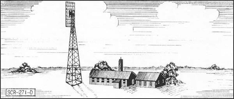
HistoryThis radar site was established in 1942 during World War II as a part of a chain of some 65 radar stations along the West Coast of the United States and Canada. These secret radar sites were built to provide early warning and interception of approaching enemy aircraft and ships but also served to assist friendly aircraft that were lost or had in-flight emergencies. This radar network was in addition to a network of search and fire control radars established at each of the West Coast harbor defenses. This chain of West Coast radar stations was established in response to the June 1942 Japanese invasion and capture of the U.S. Aleutian Islands of Attu and Kiska. The islands were both recaptured by U.S. forces and declared secured by 24 Aug 1943. The radar chain was constructed in late 1942 and early 1943 while the Japanese still had control of the islands and had conducted air raids on the U.S. bases at Dutch Harbor. The threat of further air attacks on the West Coast appeared real as did a possible Japanese invasion of the Pacific Northwest.  Two types of Air Warning Service (AWS) radar stations were built, long-range search radars (200~ mile range) and short-range Ground Control Intercept (GCI) radars (50~ mile range). The search radars would pick up and track possible enemy aircraft while the GCI radars would guide U.S. interceptor aircraft to these targets. The False Cape radar site was sited as a search site with a SCR-270B radar set. The identified site has an unrestricted view of the Pacific Ocean off False Cape, California. The radar site was operational from sometime in 1942 until 1944. Manning over this period of time was typically 45 to 50 men operating as a detachment of the 653rd Signal Aircraft Warning Company with a headquarters at Fourth Air Force, San Francisco Control Group (note: the detachment numbers and unit designation may have changed several times while the site was active).
Physical PlantThis installation was a split site with the Radar Operations area separate from the Cantonment area on a leased 6-acre site. The cantonment area was said to have a number of hutment style quarters with a total capacity of 66 men. Structures on the Operations Site typically included the SCR-270-B antenna on a concrete base, the operations building housing the radar set, the operations area itself, and power generators. The Cantonment area usually contained about 14 frame buildings which would have included a dining hall, three or four barracks, a common washroom/latrine, a headquarters building, a combination recreation hall/supply, and other support buildings. ClosureThe site was deactivated in 1944 and the facilities were removed.
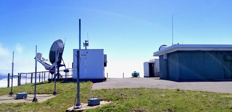
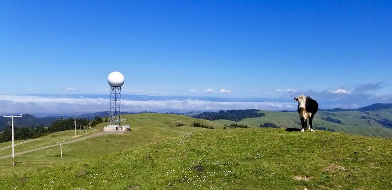
Current StatusThe radar site GPS location was obtained from the California Military Museum Website and this site is now occupied by FAA facilities. No visible remains of the World War II facilities could be seen when the site was visited. The upper site is on Bunker Hill, a high point along Bear River Ridge at 2,459' and now the site of an FAA radio site. The lower site would have probably been right below on a flat at 2,400' where an FAA NEXRAD WSR-88D Doppler weather radar is now located. The sites are accessed from Ferndale south via Mattole Road to Bear River Ridge Road and then .8 miles to an unnamed road on the right side (single bar gate but open) and then about a mile and a half to the site.
See Also: Sources: Links:
Visited: 6 May 2019
| |||||||||

