McChord Air Force Base Radar Site
|
McChord Air Force Base Radar Site (1950-1960) - A Cold War Air Force Radar Station first established in 1950 on McChord Air Force Base, Pierce County, Washington. Initially assigned a Permanent ID of P-1. Moved to Fort Lawton Air Force Station in 1960.
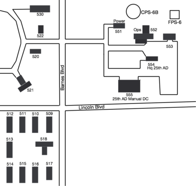
HistoryEstablished in 1950 and became operational in 1951 as McChord Air Force Base Radar Site manned by the 635th AC&W Squadron. The station initially had both a Ground-Control Intercept (GCI) and early warning mission. The early warning mission involved tracking and identifying all aircraft entering their airspace while the GCI mission involved guiding Air Force interceptors to any identified enemy aircraft. Controllers at the station vectored fighter aircraft at the correct course and speed to intercept enemy aircraft using voice commands via ground-to-air radio. Initial equipment included two CPS-6B search radar sets and later in the mid-1950s one FPS-6 height-finder radar was added. Site P-1 was relocated to Fort Lawton Air Force Station about June 1960 with a relocated ID of RP-1. The new site was collocated with a U.S. Army Nike Missile Direction Center S-90DC and became SAGE System site Z-1. Physical Plant The physical plant of the site was divided into the main operations site, a cantonment area, and a radio site. The main site housed the operations buildings, the radar towers, and the backup generators. The Cantonment area housed the enlisted barracks, the bachelor officer's quarters, the orderly room, the dining hall, and other support buildings. A separate Ground to Air Transmitter/Receiver (GATR) radio site housed the radio equipment for directing aircraft intercepts. Adjacent to the radar operations area was the 25th Air Division manual control center.
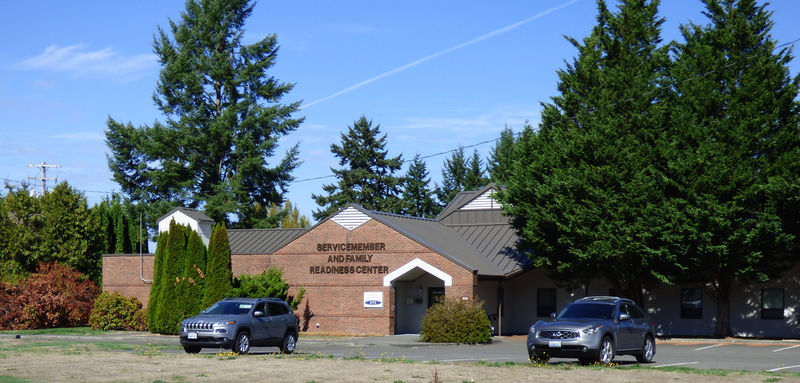
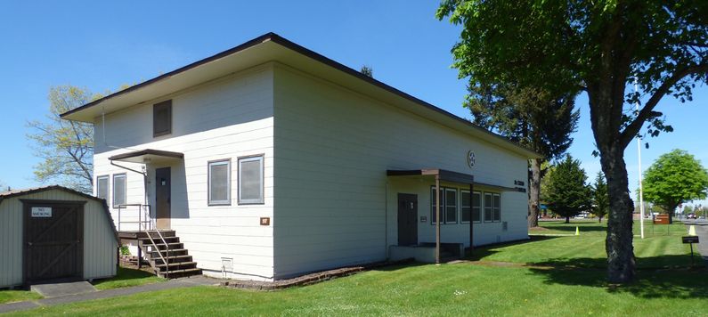
Current Status The main operational site is repurposed and in use as components of the base Readiness Center. Several original buildings remain but have been refurbished/rebuilt. Across from the old radar site operations building is the old 25th AD Manual Direction Center, building 555, the predecessor of the nearby McChord SAGE Direction Center DC-12. The manual direction center is now in use by the base civil engineer. In the cantonment area, only one building remains and it is in use as the McChord Air Museum.
See Also:
Sources:
Links: Fortification ID:
Visited: 23 Sep 2015, 30 Apr 2014
| ||||||||||||||||||||||||||||||||||||||||||||||||||||||||||||||||||||||||||||||||||||||||||||||||||||||||||||||||||||||||||||||||||||||||||||||||||||||||||||||||||||||||||||||||
