Lower Portage Camp
|
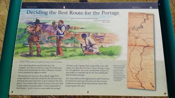
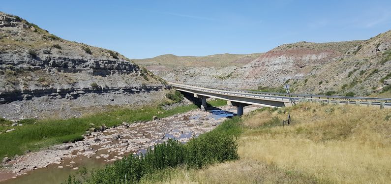
History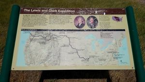 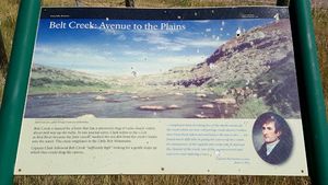 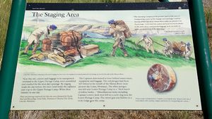 Established on 15 Jun 1805 as a Lewis and Clark Expedition base camp below the five un-navigable falls that make up the Great Falls of the Missouri. This camp was located on the south bank of the Missouri River below the point where Belt Creek enters the river. Belt Creek was used as a part of the portage on 17 Jun 1805 and perhaps on other trips. The portage was eighteen difficult and taxing miles for the Corps of Discovery. They placed large wooden wheels fashioned into an open frame wagon under their heavy dugout canoes and dragged them across the really difficult terrain to the Upper Portage Camp. One intermediate camp, Willow Creek Camp, provided a rest stop at the only place with water and wood for wagon repairs along the route. Willow creek is now known as Box Elder Creek. Along the flat ground above the eroded hills, sails were used to assist the movement of the heavy dugout canoes on a particularly windy day. The first portage trip began on 22 Jun 1805, paused at Willow Creek Camp for food and repairs, and almost made it to the Upper Portage Camp as darkness fell, but the canoe wagons broke down. The portage crew carried the baggage to the upper camp and retrieved the canoes and wagons in the morning. The wagon frames were returned to the Lower Portage Camp staging area and were loaded with two more canoes filled with baggage. By 26 Jun 1805, the crew had made three round trips hauling five canoes and baggage to the Upper Portage Camp. The fourth and last trip was beset by storms that made the prairies impassable at times and the crew was forced to take shelter at Willow Creek Camp, narrowly escaping a flash flood and being pounded by large hail. With the portage completed and the unnecessary items cached, the Lower portage Camp was abandoned on 30 Jun 1805.
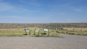
The Return TripThe Upper Portage Camp was reoccupied by 11 July 1806 and on 15 Jul 1806 the Lower Portage Camp was checked and the portage began. On 27 Jul 1806, the Lower Portage Camp was abandoned. Sergeant Glass and one other man set out with four horses for the Maria's River Camp expecting to meet up with Captain Lewis and his party there. Sergeant Ordway and the remaining men hauled out the white perogue and repaired it and with five canoes began the journey downriver to the Maria's River Camp. On the 28th of July Captain Lewis and his party emerged along the river bank and joined Ordway on the downriver journey. Lewis and his party had encountered hostile Indians, killed two of them, and were making a hasty exit. At Maria's River Camp they were joined by Sergeant Glass. After retrieving the items cached at the camp, the horses were set free and the journey continued downriver. Current StatusThe site of the camp is on private property and not generally accessible or visible from roads. The actual location has been obscured a bit by imprecise GPS coordinates. To compensate for no access to the site, the National Park Service has established a simple unmanned interpretive center above the river but without a sight line to the river or the site. The interpretive center has a number of panels that explain different aspects of the portage. The last leg of Salem Road to the interpretive center is about six miles of gravel and it crosses Belt Creek just past the interpretive center. Archeological Site 24CH293.
See Also: Sources:
Links:
Fortification ID:
Visited: 15 Aug 2016
| |||||||
