Lewistown Army Airfield
|
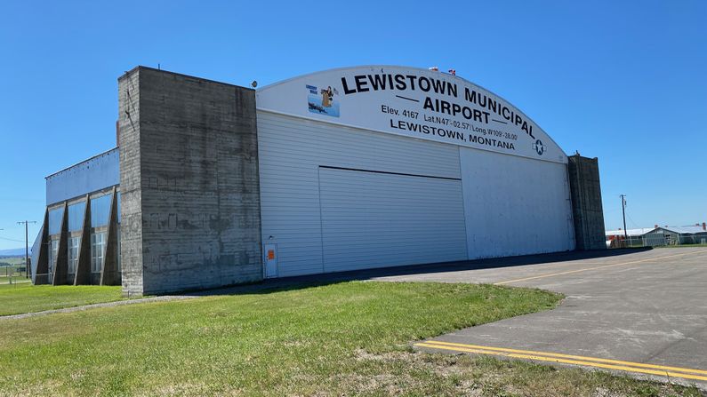
Lewistown Army Airfield (1942-1943) - A World War II U.S. Army Airfield that was established in 1942 near Lewistown, Fergus County, Montana. Named Lewistown Army Airfield after the location. Operated 1942-1943 and then deactivated. Declared surplus in 1948. Now Lewistown Municipal Airport.
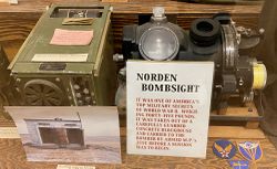
HistoryThe Lewistown Army Airfield was built in 1942 as one of four training facilities for B-17 Flying Fortress crews. On 28 Oct 1942, the first Boeing B-17 Flying Fortresses landed at the Lewistown AAF.  Lewistown AAF was a satellite field for the Great Falls Army Air Base. B-17 aircrews were trained in navigation, gunnery, and bombing practice with the top-secret Norden bombsight. After this last phase of their training, aircrews were sent to combat units overseas. B-17 bomber squadron's combat losses were horrific. A single mission over Germany in October 1942 claimed 60 B-17s and 600 lives. The airfield was only in operation during an 11-month period between 1942 and 1943 and thereafter deactivated. The field was declared surplus in 1948 and later became a municipal airport.
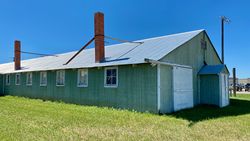
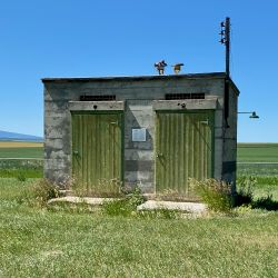
Current Status  Now part of Lewistown Municipal Airport and the Lewistown Satellite Airfield Historic District. The site of the former Lewistown Army Airfield is unusual in that some of the WWII-era buildings still exist including the only known surviving Norden Bombsight storage vault. Affixed to many of the historic buildings are plaques that identify the building and provide some historic context. The Central Montana Museum at 408 NE Main in Lewiston has displays concerning the airfield and an actual Norden Bombsight. Other displays include a Minuteman I Missile erected in front of the Museum.
See Also: Sources:
9781678010447, 370 pages.
Links:
Fortification ID:
Visited: 20 Jul 2022
| |||||||
