Kullyspell House
|
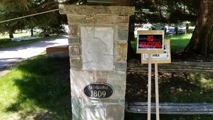
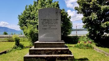
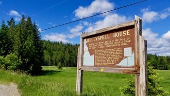
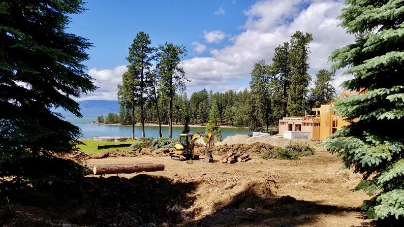
HistoryEstablished as a North West Company (NWC) trading post in September 1809 by David Thompson and Finnan MacDonald. The site was located on Sheepherder's Point near Memaloose Island near present-day Hope in Bonner County, Idaho. This post was the first fur trade post in the American Pacific Northwest. Thompson selected the site on 10 Sep 1809 to be on a direct line for all Indian canoe travel on Lake Pend d'Oreille. He quickly set up a camp and began construction of more permanent buildings. Thompson left Kullyspell House on 11 Oct 1809 to establish a post among the Flathead Indians and extended the Canadian fur trade further west. He then built Spokane House in 1810 just west of present day Spokane, Washington. Thompson was impressed with the area and the industry of the Flatheads and decided to closed Kullyspell House on 14 Nov 1811 and move his operation to the new Spokane House. Current Status Most probable site is on private property on the Hope Peninsula, Lake Pend Oreille in Bonner County, Idaho. The site on the peninsula is describe as being directly across from a small island known as Memaloose Island. Archeological remains have found on this tip of land that could be the chimney remains from the post. The site is currently under construction is posted and has no public access. On the gate to the property is an establishment year of 1809 possibly indicating that the owner believes it is the site of the post.
See Also: Sources:
Links:
Visited: 9 Jun 2017
| ||||||


