Kootenai Post (2)
|
Kootenai Post (2) (1811-Unk) - A North West Company (NWC) trading post established in 1811 along the Kootenai River at the "Big Bend" across from present day Jennings in Lincoln County, Montana. Also known as Fort Kootenae and with various spellings of the river name (Kooyenay, Kootenai, Kootenae). In general, the United States spelling is Kootenai and the Canadian spelling is Kootenay.
HistoryEstablished by the North West Company (NWC) in the winter of 1811-1812 along the Kootenai River across from present day Jennings in Lincoln County, Montana.
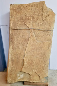
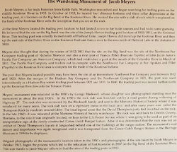
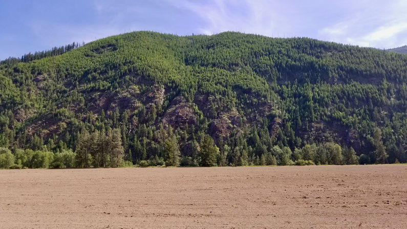
Current Status  The site is reportedly on private property in the Big Bend of the Kootenay River and is not marked with roadside markers or obvious access points. The site was identified by Jacob Meyers in October 1915 although he was unable to tie it to a specific post. Meyers found four chimney bottoms and three cellar depressions and placed a stone marker at the site. This stone marker was displaced by later road construction and now resides in the Libby Heritage Museum in Libby, Montana. According to the Heritage Museum, the site (but not the marker) was "relocated" at the Big Bend in 2007. The marker and the associated tale are shown here.
See Also: Sources:
Visited: Area 7 Jun 2017
| ||||||||||||||||||||||||||||||||||||||||||||||||
