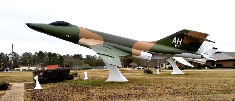
Hattiesburg Army Air Field
|
HistoryIn 1940 the U.S. Army Air Corps signed an agreement to lease the existing Hattiesburg Airport, but construction did not begin until March 1941. On 8 Dec 1941, Hattiesburg Army Air Field opened. Initially, the airfield planes flew antisubmarine patrols in the Gulf of Mexico. In early June 1942, the 21st Bombardment Group, based at Jackson Army Air Base, dispatched B-25 Mitchells from the airfield. They were replaced in late June by O-49 Vigilants and O-52 Owls, light observation planes who remained until the end of July 1942. The 27th Bombardment Group (Light), flying A-20 Havocs arrived at Hattiesburg in mid-August 1942. The entire unit had been withdrawn from the Southwest Pacific and reformed and reequipped in the United States. The reconstituted group trained at Hattiesburg until the end of October 1942 when they left for further training before moving to North Africa. The 27th Bombardment Group was the last combat unit to be stationed at Hattiesburg AAF. Hattiesburg AAF was then reassigned to Air Technical Service Command as a support airfield, performing maintenance on transient aircraft. ClosureIn early 1945 military activities were phased down, and Hattiesburg AAF was placed on inactive status. The field was returned to full civilian control in April 1946. The first airline flights were Delta DC-3s in 1948. Delta left in 1960, and Southern moved to the new Hattiesburg-Laurel Regional Airport in 1974. Current StatusNow the Bobby L. Chain Municipal Airport owned by the City of Hattiesburg. This is a general aviation airport with no scheduled commercial service.
See Also: Sources: Links: Visited: 30 Dec 2017
| ||||||
