Fort Wise
|
Fort Wise (1852-1867) - A trading post first established in 1852 as Bents New Fort by William Bent in Bent County, Colorado. The post was leased to the U.S. Army in 1859 and renamed Fort Fauntleroy (1) after Colonel Thomas T. Fauntleroy, 1st U.S. Dragoons. Colonel Fauntleroy joined the Confederacy in 1861 and the post was renamed Fort Wise after Henry A. Wise, Governor of Virginia. Wise also joined the Confederacy and the post was renamed Fort Lyon after the deceased Union General Nathaniel Lyon (Cullum 1069) who was the first Union general killed in the U.S. Civil War. The post was abandoned in 1867 for a newly constructed Fort Lyon. Commonly known as Bents New Fort and Fort Wise.
History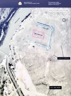 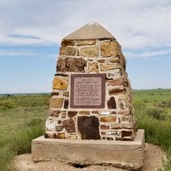 William Bent destroyed his original fort on the Arkansas River in 1849 when he was unable to sell it to the U.S. Army. He then built another post at Short Timbers, five miles downriver from Bents Old Fort. In 1852 he abandoned that post and moved 40 miles further down river and constructed a new stone fort on a high bluff above the Arkansas River. In 1859 Bent leased his new fort to the U.S. Army. The U.S. Army renamed the fort for Colonel Thomas T. Fauntleroy and went through an embarrassing series of name changes as the U.S. Civil War caused officers and men to choose sides. In 1864 the post was involved in the Sand Creek Massacre of the friendly Cheyennes led by Black Kettle that sparked a long-lasting uprising of the plains Indians. By 1867 the Arkansas River had undercut the bluff that the fort was built on and the Army constructed a new Fort Lyon (2) about 20 miles further upstream. The move to the new post was accomplished in 1868.
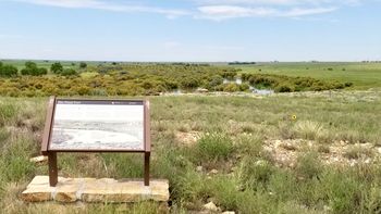
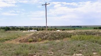
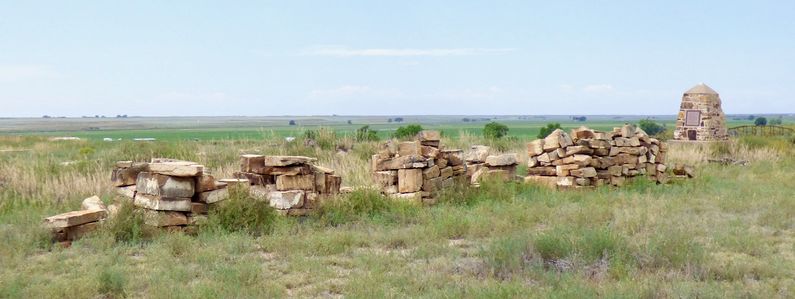
Current Status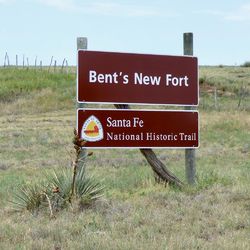 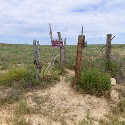 Markers and outline of the fort in Bent County, Colorado. The site has been made accessible by the landowners and contains some outline paths with reader boards along the way. The top point of the site overlooks the Arkansas River and shows the strategic importance of the site. Two of the Fort Lyon earthworks bastions can be seen. Alongside the site are wagon wheel ruts from the Sant Fe Trail leading down to a crossing below the fort site. Public access to the site is allowed through an angular gate probably designed to discourage 4-wheel access to the site.
Sources:
Links: Visited: 20 Aug 2019
| |||||||
