Fort Wear
|
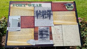
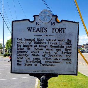
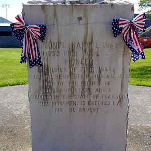
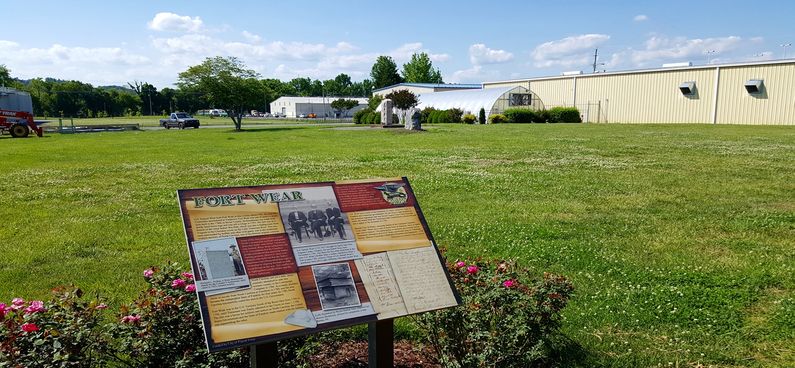
History of Fort WearEstablished in 1781 by Colonel Samuel Wear for the protection of local settlers from hostile Indians. The fort was located along a branch of the Great Indian War Path and trading route on the West Branch of the Little Pigeon River near the mouth of Walden's Creek. The fort contained a blockhouse built with hand hewn timbers that was still used as a refuge in 1793 when it was attacked on 19 June by a large Cherokee war party. Colonel Wear organized a force of about 60 men and pursued the hostiles, killing several and capturing others. Sporatic attacks continued until about 1800. Colonel Samuel Wear was a true Patriot who fought in four wars starting before the Revolutionary war, in the Revolutionary War at Kings Mountain, during the Indian wars and in the War of 1812. Current Status The identified location of the fort is behind behind the Pigeon Forge Community Center. The site has an interpretive panel for the fort and stone marker for Colonel Samuel Wear (1753-1817) and other family members. There is also a small roadside marker along Route 441 just before the intersection with Route 321.
See Also: Sources: Links: Visited: 23 May 2016
| ||||||


