Fort Watson
|
Fort Watson (1780-1781) - A British Revolutionary War post established in 1780 by British Colonel John Watson in Clarendon County, South Carolina. Named for Colonel John Watson, builder of the fort. Captured by Patriot forces in 1781.
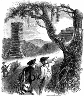
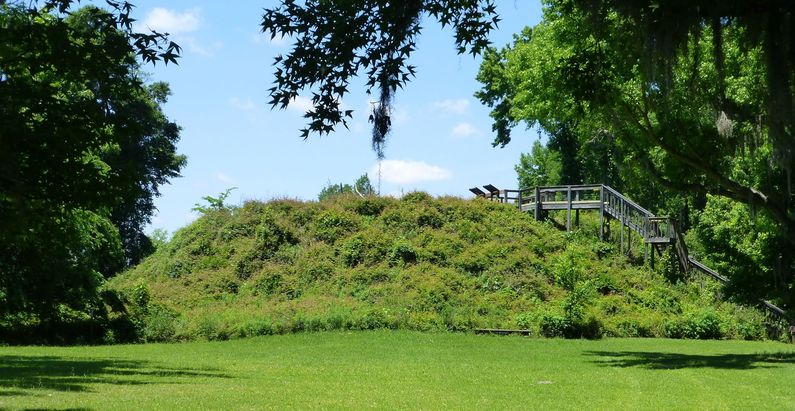
History of Fort WatsonEstablished in 1780 by British Colonel John Watson as one of a string of British forts between Charleston and Fort Ninety-Six. The fort was located atop a 50' Indian mound at Wright's Bluff. The British garrisoned the fort with 80 regulars and 40 loyalists. 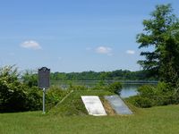 The first attack on the British fort began on 28 Feb 1781 with Patriot troops under the command of General Thomas Sumter making a direct assault. The Patriots did not have artillery support and the British had two cannons. The assault was turned back by the British and the Patriots suffered significant losses. The fort later came under siege by Patriot forces commanded by General Francis Marion (the "Swamp Fox") and Lt. Colonel Henry Lee ("Light Horse Harry"). The Patriot siege began on 15 Apr 1781 and by 23 Apr 1871 they had constructed a 30' Maham tower that could fire into the interior of the fort. Sharpshooters in the tower forced the British to surrender the fort.
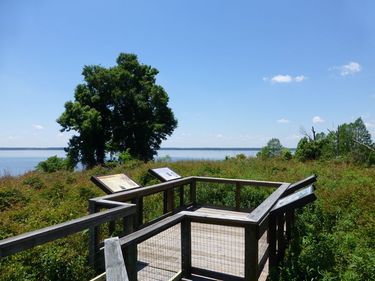
Current Status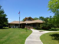 Several markers at Santee National Wildlife Refuge Visitor Center in Clarendon County, South Carolina. The site of the fort was on top of a Santee Indian mound located a short distance from the visitor center. The mound can be seen across the water from the visitor center. A stairway and wildlife viewing platform provides access to the top of the mound but none of the fort structures have been replicated, the top is covered with vegetation. There is a small stone marker at the edge of the mound parking lot identifying the site.
Sources:
Links:
Visited: 9 May 2013
| ||||||
