Fort Walla Walla (1)
|
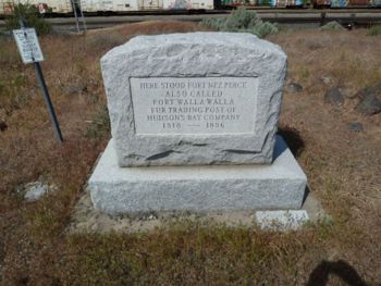
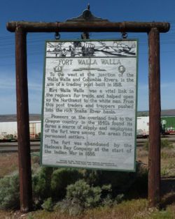
Fort Walla Walla (1) (1818-1860) - Originally built by the North West Company in 1818 and when that company merged with the Hudson's Bay Company in 1821 it became a Hudson' Bay Post. The post later became one of the main stops on the Oregon Trail. This area was also the site of a Wallula Indian campsite at which the Lewis and Clark Expedition stayed in 1806. Abandoned in 1860. Also known as Fort Nez Percés.
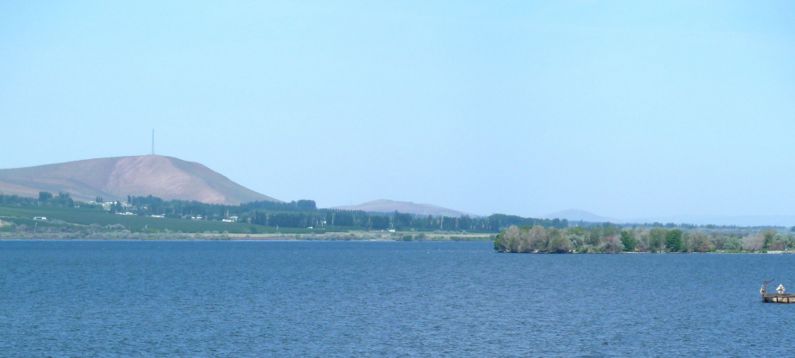
HistoryIn 1818, the North West Company made the decision to shift the center of trade from Spokane House to Fort Nez Perce, and appointed Alexander Ross to take charge of this new center. It was a natural center of the immense fur-bearing region drained by the Snake River flowing in from the southeast. Several incidents between whites and Indians around this time, especially one with the Cowlitz, really impacted the western areas available for trapping. Ross with a group of nearly 100 men traveled from Fort George and arrived on the Walla Walla on 11 Jul 1818, without incident. "On that day McKenzie, myself, and ninety-five effective men encamped on the site pitched upon for new establishment of Fort Nez Perces, about half a mile from the mouth of the little river Walla Walla." The new fort was 100 feet square, with an outer wall 20 feet high, armed with four cannons and ten swivel guns. Donald McKenzie supervised the erection of a palisade of planks, 20 feet high and six inches thick. Bastions at each corner housed cannon and 200 gallons of water apiece in the event of a siege. The establishment was dubbed The Gibraltar of the Columbia and was considered to be the strongest fort west of the Rockies. Alexander Ross was the first factor for the post. Fort Walla Walla remained a North West Company fur post until 1821 when the Hudson's Bay Company acquired the North West Company, in 1831 HBC rebuilt Fort Nez Perce. In 1841, the fort burned down and was rebuilt out of adobe brick. The post was abandoned during the Indian War of 1855-56. The site became the town of Wallula. Current StatusUnder the waters of Lake Wallula behind McNary Dam on the Columbia River.
See Also: Sources:
Links: Publications:
Fortification ID:
Visited: 16 May 2010
| |||||||


