Fort Vannoy
|
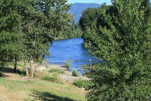
Fort Vannoy (1855-1856) - A Oregon Volunteer post established in 1855 during the Rogue River Indian War of 1855-56. One of the more important posts of the Oregon Volunteers served as the headquarters camp. The site is located on the north bank of the Rogue River about four miles west of present-day Grants Pass, Josephine County, Oregon. Possibly named for the family on whose land donation claim it was located (Margaret Vannoy). Also known as Camp Vannoy. The name may actually be spelled Van Noy.
Rogue River Indian War (1855-1856) An Oregon Volunteer headquarters post was established in October/November 1855 during the Rogue River Indian War of 1855-56. Thought to have contained a group of log houses enclosed by a breastwork or low stockade on the land donation claim of Margaret Vannoy near present-day Grants Pass in Josephine County, Oregon. Both Fort Vannoy and Camp Vannoy were referenced in some of the same period documents, possibly referring to the fort itself and a camp surrounding or nearby the fort. Abandoned as a military post at the end of the war.
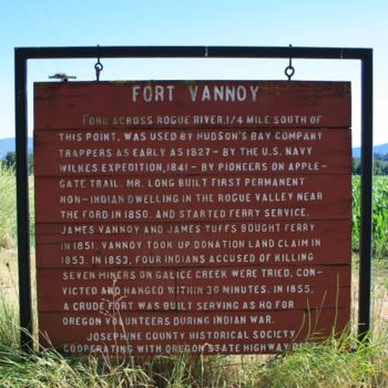
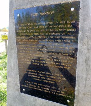
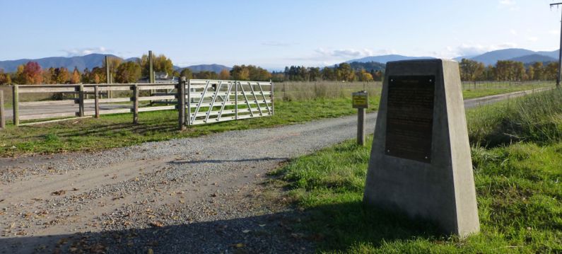
Current StatusMarker only at Fort Vannoy Farms, Grants Pass, Josephine County, Oregon. Marker replace and rededicated 21 Apr 2012. The marker is located on Fort Vannoy Farms, 5791 Lower River Road in Grants Pass, Oregon.
See Also: Sources:
Fortification ID:
Visited: 7 Nov 2012, 27 Jun 2008 | |||||||


