Fort Van Meter (1)
|
Fort Van Meter (1) (1754-1763) - A French & Indian War settler fort established in 1754, nine miles south of Romney, Hampshire County, West Virginia. Named Fort Van Meter after Isaac Van Meter. Abandoned as a fortification about 1763. Also known as Van Meter's Fort.
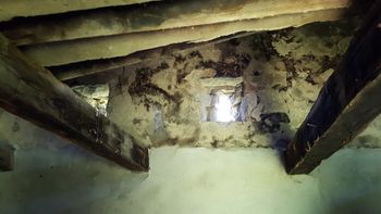
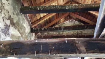
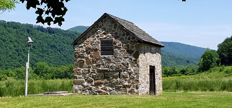
History of Fort Van MeterEstablished in 1754 by Isaac Van Meter but probably constructed by Nathaniel Kuykendall or his son, Isaac Kuykendall, both skilled stonemasons living in the area. Located along the South Branch of the Potomac River near the river cut known as "The Trough."  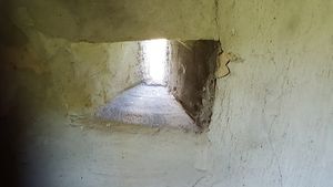 Fort Van Meter is a small rectangular stone building with a gabled roof. The roof has exposed rafters and cedar shake shingles. The building is built of uncoursed stone and is some 19.6 feet long and 13.8 feet wide. The walls are approximately 15 inches thick. The fort would have been large enough to protect the Van Meter family and his neighbors but was not large enough to garrison troops. The fort has one double-door entrance with two wood plank doors and a hand-forged latch lock. The second floor was supported with squared timbers but is currently unfloored. Gun loopholes were placed on both the upper and lower levels of the building on all four sides. The upper loopholes were high enough to fire over a palisade if one surrounded the building. On the south side of the fort was a stone well, now covered over with a concrete apron and well cap. The well was 39 feet deep and lined with stone. The building was probably abandoned as a fortification about 1763 when the French & Indian War war wound down but continues in use for other purposes today.
Current StatusPrivate property. The building is still standing with some damage on the south side from a previously removed addition. The interior shows some use for other purposes but is remarkably intact.
See Also: Sources: Links: Fortification ID:
Visited: 31 May 2016
| ||||||
