Fort Spokane (2)
|
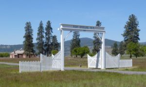
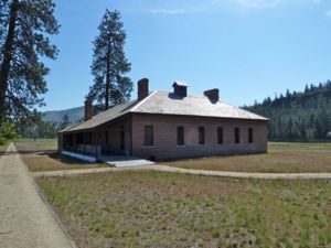
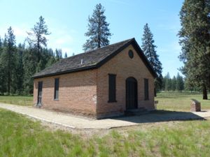
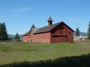
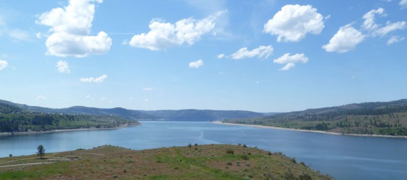
Fort Spokane (2) (1882-1899) - Established as Camp Spokane in the fall of 1880 by Lt. Colonel Henry C. Merriam and four companies (D, E, F and I) of the 2nd U.S. Infantry. Renamed Fort Spokane early in 1882. The fort was turned over to the Coleville Indian Agency in 1898 at the start of the Spanish-American War. Fort Spokane (2) HistoryFort Spokane was the last army frontier post established in the Northwest. In 1884 there were about 25 buildings, including six barracks, a schoolroom, an ice house and a two-story administrative building topped with a glass-sided cupola. Eventually there were about 50 buildings on the post including enlisted mens barracks, officers' quarters, a chapel and a hospital. The fort was strategically located at the convergence of the Columbia River and the Spokane River about 50 mile northeast of the city of Spokane. The post served to consolidate older posts like Fort Colville closer to the population areas. When the Spanish American War broke out in 1898 the troops at Fort Spokane were moved elsewhere and the fort was turned over to the Coleville Indian Agency. In 1899 the post became a school for Indian children and later a tuberculosis sanatorium. The site was no longer used by the government in 1929. Current Status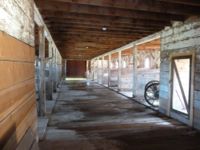 The National Park Service took over the site in 1960 with only four original buildings remaining from the fort. These four buildings and the site have been preserved and are now part of the Park Service’s Lake Roosevelt National Recreation Area. The restoration has saved the 1884 stable, the 1888 powder magazine, the 1889 reservoir and the 1892 guard house.
Sources:
Links: Visited: 13 May 2010 Fort Spokane (2) Picture Gallery
|
