Fort Sherman (4)
|
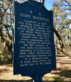
HistoryEstablished in 1862 after Union forces landed some 13,000 troops on Hilton Head Island 7 Nov 1861. The seizure of Hilton Head provided the Navy with a supply base for their ships blockading the southeast coast of the U.S. and a staging area for Army troops moving to combat areas. At its peak, the island held some 40,000 troops.  Fort Sherman came to enclose much of this area and in September 1864 Fort Sherman included two miles of earthworks and 800 acres of military reservation.
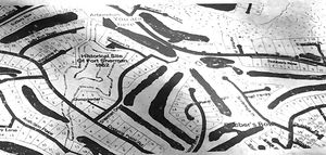
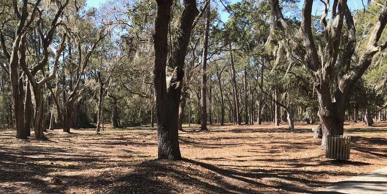
ClosureIn April 1866, with the war over, the Post of Hilton Head was established to include most of the military facilities on the island. On 14 Jan 1868, the Post of Hilton Head was abandoned and the military left the Island. Current Status The earthworks from Fort Sherman cover a large area on the gated community of Port Royal Plantation. Specific access points are used to show the earthworks to visitors who are a part of the guided tour conducted by the Coastal Discovery Museum, fees apply. The most obvious earthworks are located along Sherman Drive.
See Also: Sources:
Links: Visited: 7 Mar 2018
| ||||||
