Fort Sewall
| More information at Warlike, Wikidata, Wikipedia
Fort Sewall (1742-1898) - First established in 1742 as Gales Head Fort on a site that had been fortified since 1634. Located at Marblehead, Essex County, Massachusetts. Named after Massachusetts Supreme Court Justice Samuel Sewall. Became a city park in 1892 but was garrisoned during the Spanish-American War in 1898.
Colonial Period (1630-1775)Established in 1742 to defend the harbor against raiding French warships. The Massachusetts General Court provided 690 pounds for the construction of a sufficient breastwork that would accommodate 12 pounder cannon. The threat from French warships lasted until the end of the French & Indian War in 1763. Revolutionary War (1775-1794)The fort was rebuilt at the beginning of the Revolutionary War in 1775. First System (1794-1808)The fort was rebuilt again in 1794 as a part of the First System fortification plan, adding a blockhouse and magazine. War of 1812 (1812-1814)The fort was rebuilt in 1809 as a part of the Second System fortification plan with an eight gun battery and when the War of 1812 began the fort was re-garrisoned. Fort Sewell protected the USS Constitution from British ships in 1814 when it anchored in Marblehead Harbor. U.S. Civil War (1861-1865)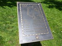 The fort was in ruins at the start of the U.S. Civil War but it was rebuilt in 1861 with a 12 gun battery and continuously garrisoned throughout the war. On 22 May 1892 the city of Marblehead voted to accept the Fort as a city park. The property wasn't actually deeded to the city by the U.S. Government until 1922. The fort was used to temporarily garrison elements of the Massachusetts Militia In 1898, during the Spanish-American War.
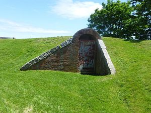
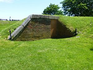
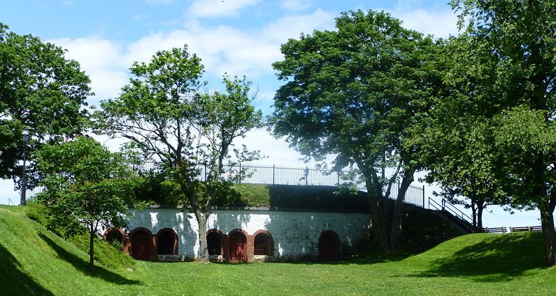
Current Status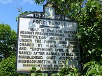 Still a Marblehead City Park. The four room headquarters bombproof, the 1794 magazine and the 1799 magazine still exist.
Sources:
Links: Visited: 6 Jun 2012 Fort Sewall Picture Gallery
| |||||||
