Fort Orleans (1)
| More information at Warlike, Wikidata, Wikipedia
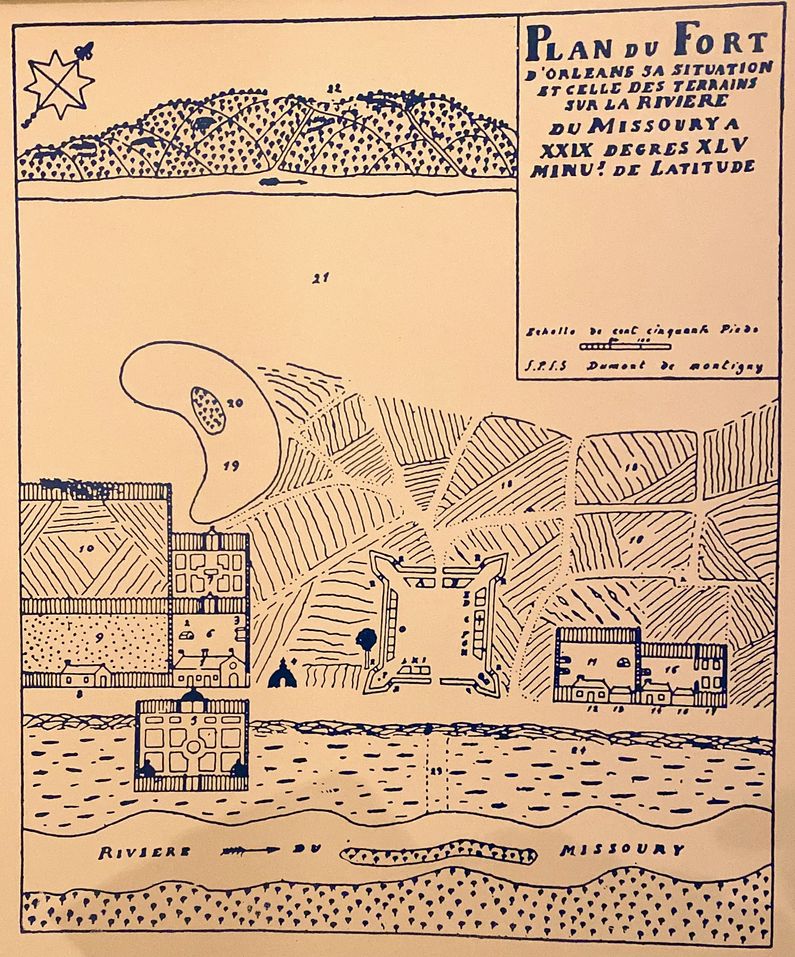
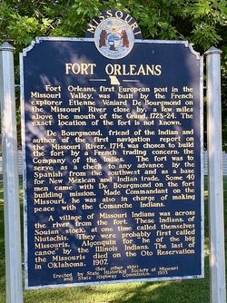
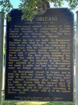
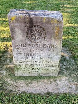
HistoryEstablished on 15 Nov 1723 by Frenchman Etienne Veniard, Sieur de Bourgmond with a garrison of 40 men. Bourgmond became Commandant on the Missouri River and was charged with making peace with the Comanche Indians. He traveled to Kansas via the Kansas River to the southwest, where he made peace with the Comanche, Osage, Iowa, Pawnee, Oto, and Makah tribes. In 1725, Bourgmond returned to France with several Indian chiefs and a young Indian girl. The French were taken with the Indians and called the girl "Princess of the Missouri." The girl married a young French (officer or sergeant or soldier depending on which account you read) named Du Bois and returned to Missouri with him. Their return is commemorated by a lunette mural in the Missouri State Capitol building. Bourgmond was made a noble and did not return to Missouri. 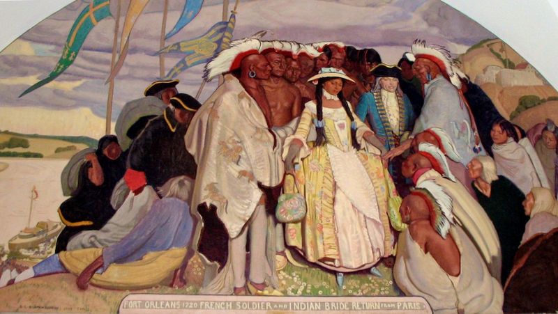 The post was abandoned in 1728 as unprofitable and because too many French soldiers were being killed. One story indicated that the garrison at the fort was reduced to eight soldiers who were then attacked and killed by hostile Indians. The Lewis and Clark Expedition looked for the fort on 16 Jun 1804 but found no trace of it. Current StatusExact site unknown, at least three locations have been identified as possible locations. A double-sided state marker and a 1924 DAR Stone Marker are located in a De Witt community park at the corner of Seventh and Jefferson. 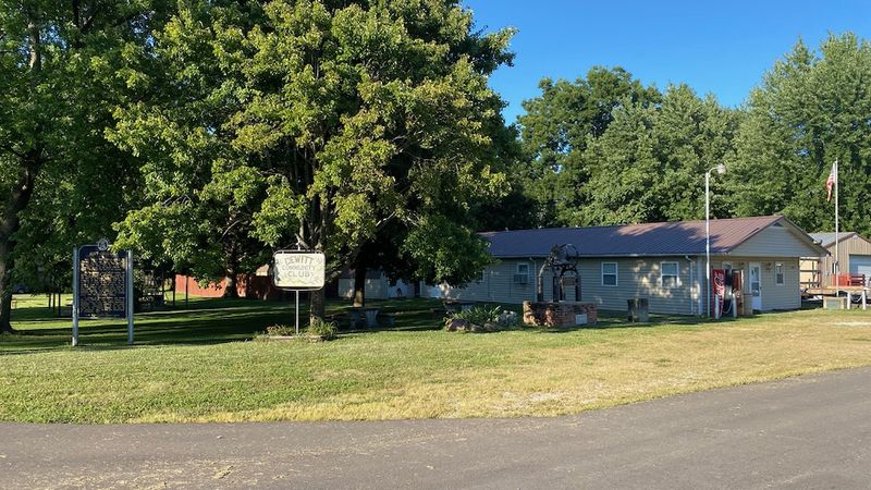
See Also: Sources:
Links:
Visited: 21 Aug 2020
| ||||||||||
