Fort Okanogan
| More information at Warlike, Wikidata, Wikipedia
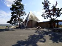
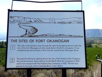
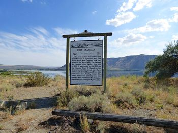
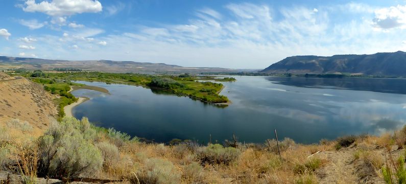
Fort Okanogan (1811-1860) - Established as a Pacific Fur Company trading post in 1811. Reestablished as a North West Company post and in 1821 became a Hudson's Bay Company post. Located in present-day Okanogan County, Washington. HistoryOriginally a 16' x 20' log trading post located at the confluence of the Okanogan River and the Columbia River. The post was abandoned after the War of 1812 and re-established by the North West Company and served as the southern terminus of their overland Pacific brigade trail to Fort Alexandria in Canada. The North West Company merged with the Hudson's Bay Company in 1821 and the post became a Hudson's Bay Company post. The fort was rebuilt in 1830 less than a mile away from the original location. The fort was completely abandoned in 1860. Current Status A visitor and interpretive center overlook the two sites off of Hwy 17 just east of the confluence of the Okanogan and Columbia Rivers. Although advertised as Fort Okanogan State Park the interpretive center is operated by the Confederated Tribes of the Colville Reservation and there was no indication of State involvement. Outside the visitor/interpretive center are a marker and two sighting mechanisms pointing out the two fort locations. Inside are a number of displays that include a diorama of the fort site and information on the archeological digs at the site Another marker is located further west off of US 97 just across the Okanogan River on a bluff overlooking both sites. This marker is adjacent to an apple orchard and a bit is hidden away. Take a left as you enter the orchard road and that leads to the bluff. A spectacular view!
See Also:
Sources:
Links: Fortification ID:
Visited: 21 Aug 2014 |


