Fort McIntosh (1)
|
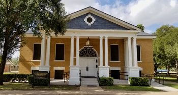
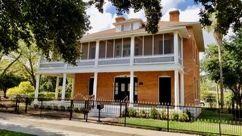
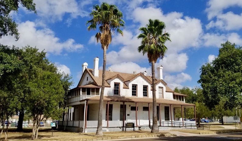
Fort McIntosh (1) (1849-1946) - Established by troops of the 1st U.S. Infantry from Ringgold Barracks under the command of Lt. Egbert Ludovicus Vielé, (Cullum 1360). The unit reached the banks of the Rio Grande in Webb County on 3 Mar 1849 where they set up a camp of tents on a bluff to the west of Laredo. They named the post Camp Crawford, in honor of Secretary of War George W. Crawford. In Jan 1850 the site became Fort McIntosh, named after Lt. Col. James S. McIntosh, killed three years earlier in the battle of Molino Del Rey.
HistoryFort McIntosh formed a key link in the dual chain of forts that lined the Rio Grande and the western frontier. Its geographical location, intense summer heat, and scarcity of rainfall and tillable soil made the location undesirable, but the post nevertheless provided the area a measure of military and economic security. Comanches and Lipan Apaches harassed the region; the adjacent river ford was popularly known as Indian Crossing. An inspection by Colonel Joseph K.F. Mansfield (Cullum 287) in 1856 confirmed McIntosh's strategic value, and the temporary removal of the garrison three years later depressed the local economy.  The fort was initially a star-shaped earthwork built by army engineers and troop labor. The Indian problem expanded the normally small garrison at times to over 400 men, including prominent officers Philip H. Sheridan and Randolph B. Marcy. The outbreak of the U.S. Civil War resulted in Union abandonment and Confederate occupation of the fort. During the war, Fort McIntosh sustained several unsuccessful Northern assaults. In 1865 federal soldiers returned and inaugurated a period of stability. 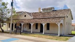 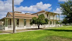 Permanent construction began three years later, and within the next decade, the installation was greatly enhanced. In 1875, after a series of leases, Laredo ceded to the federal government 208 acres adjoining the considerably larger original site. Barracks and temporary structures were erected during World War II. Infantry, cavalry, field artillery, an engineer squadron, and national guard units operated in turns from the premises. Black troops garrisoned McIntosh without notable incident in the 1870s, but their return after the Spanish-American War started a racial conflict that presaged later outbursts at Brownsville and Houston. Complaining of police brutality, an undetermined number of soldiers from Company D of the 25th U.S. Infantry beat and clubbed a peace officer in October 1899. Governor Joseph Sayers responded to the public outcry by demanding the removal of all black troops from the state. The furor subsided with the arrest of several infantrymen and the growing alarm of the citizenry that Washington might close the post altogether. The Mexican Revolution and two world wars prolonged the utility of Fort McIntosh long after transportation improvements rendered the old frontier posts obsolete. The war department discontinued the installation on 31 May 1946, when the Boundary Commission acquired the northern half of the property and the city of Laredo reclaimed the remainder.
Current StatusLaredo Junior College occupies a portion.
Sources:
Links:
Visited: 9 Oct 2019
| |||||||||||||||||||||||||||||||||||||
