Fort Huger (2)
|
Fort Huger (2) (1861-1862) - A Confederate Fort established in 1861 during the U.S. Civil War by Colonel Andrew Talcott, CSA (Cullum 181), on the James River in Isle of Wight County, Virginia. Named for Confederate Major General Benjamin Huger, CSA, (Cullum 399), who commanded the Confederate Department of Norfolk. Abandoned in 1862 and occupied by Union troops.
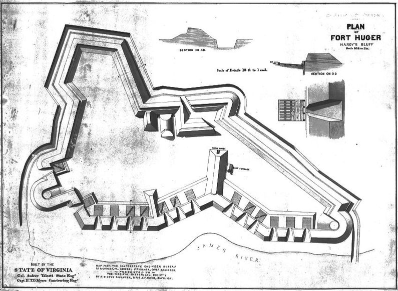
U.S. Civil War (1861-1865)A Confederate Fort established in 1861 during the U.S. Civil War by Colonel Andrew Talcott, CSA, one of several fortifications along the James River in defense of the approaches to Richmond.  Fort Huger was situated on the south side of the James River, directly across from a Confederate gun battery at Mulberry Point. The Fort had 15 gun emplacements along the riverside but little protection on the landward side. A road through the swamp at the rear of the fort led right up to the rear sallyport. The fort interior included a magazine, a shot furnace, and a shell house. The fort was built under the supervision of Captains E.T.D. Myers and John Clarke by a number of slaves and free blacks. The Fort was mostly complete by March 1862 but not yet fully armed. The post was manned by five companies, two artillery companies inside the fort, and three infantry companies outside the fort. On 8 May 1862 a set of Union warships including the ironclad U.S.S. Galena attacked both Fort Boykin and Fort Huger, silencing Fort Boykin and damaging Fort Huger. Lacking enough shells to finish the job, the Union fleet backed off and returned on the 16th of May with reinforcements in the form of the U.S.S. Monitor. After the battle, the Confederates abandoned the fort and spiked the guns. 
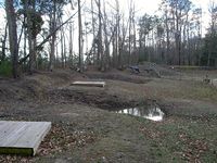
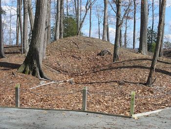
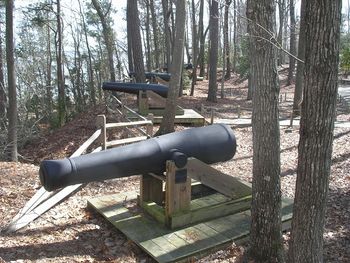
Current StatusFort Huger County Park, Isle of Wight County, Virginia. Fort is restored and has mounted replica cannons in place.
Sources: Links:
Visited: 15 May 2013 |
||||||


