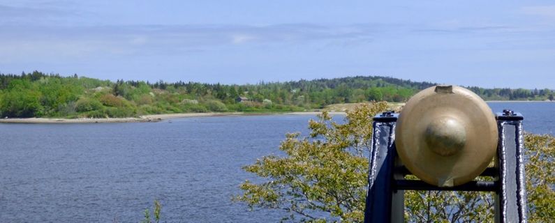
Fort Foster (3)
Fort Foster (3) (1775-1780) - Established in 1775 as a Patriot fort during the Revolutionary War by Colonel Benjamin Foster on the east bank of the Machias River in present-day Washington County, Maine. Named after Colonel Benjamin Foster. Paired with Fort O'Brien on the west bank of the Machias River. Abandoned about 1780. Assigned Location ID ME00061.
 | |
Revolutionary War (1775-1783)
Initially built as a small breastwork on the east bank of the Machias River in anticipation of a retaliatory British raid for the Patriot capture of a British ship, the Margaretta. The defenders were eventually driven off by a squadron of four British ships under Sir George Collier on 14 Aug 1777. The British occupied Fort Foster and destroyed the cannon. The British departed soon after and the fortification was reoccupied by the Patriot forces on 15 Aug 1777.
Current Status
Unknown site near Machiasport, Washington County, Maine.
|
{"selectable":false,"height":"-500","width":"-500"} |
Location: Near Machiasport, Washington County, Maine. Map point approximate. Maps & Images Lat: 44.716944 Long: -67.395833 |
Sources:
- Roberts, Robert B., Encyclopedia of Historic Forts: The Military, Pioneer, and Trading Posts of the United States, Macmillan, New York, 1988, 10th printing, ISBN 0-02-926880-X, page 360
Links:
Visited: 28 May 2018
|}