Fort Fairfield (1)
|
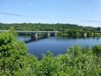
Fort Fairfield (1) (1839-1843) - A U.S. Army post established in 1839 as a border defense during the border dispute known as the Aroostook War. Located along the south bank of the Aroostook River in Aroostook County, Maine. Named for John Fairfield, twice governor of Maine (1839-1841, 1842-1843). Abandoned in 1843 after the end of the border dispute. Assigned Location ID ME00001.
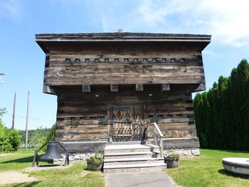
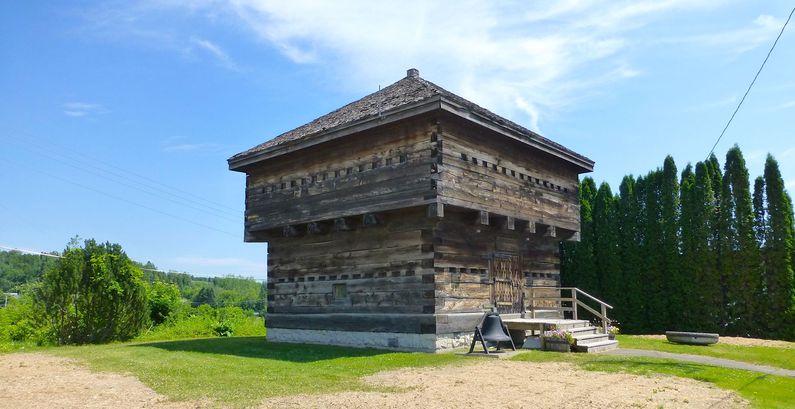
HistoryEstablished by the U.S. Congress during a border dispute with Canada known as the Aroostook War. The fort was built and garrisoned by Maine Militia to protect the border at the town of Fort Fairfield. The fort was abandoned on 2 Sep 1843 after the border dispute was settled. The blockhouse was dismantled in 1862. Current StatusReplica blockhouse and museum in the Town of Fort Fairfield, Aroostook County, Maine.
Sources:
Links: Visited: 14 Jul 2013
| ||||||


