Fort Edwards (3)
|
Fort Edwards (3) (1755-1764) - A French & Indian War era settler fort established in 1755 near the Cacapon River at the present day town of Capon Bridge, Hampshire County, West Virginia. Named Fort Edwards after Joseph Edwards owner of the property. Abandoned as a fortification about 1764. Also known as Edward's Fort.
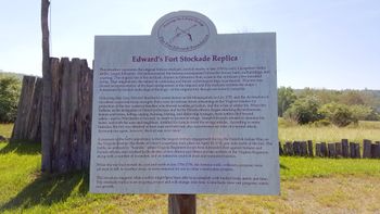
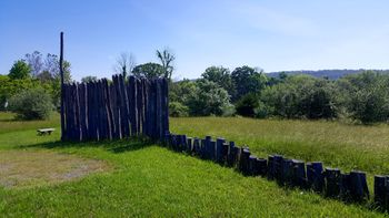
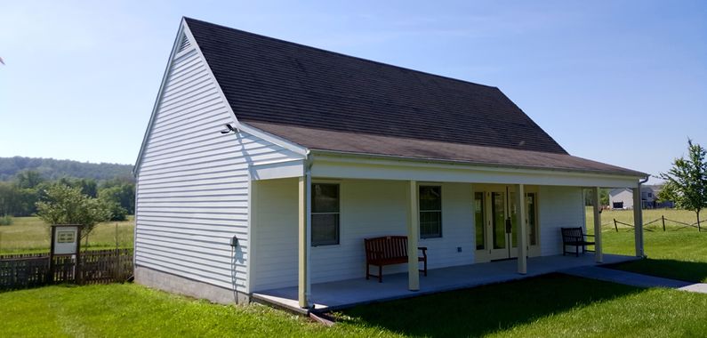
History of Fort EdwardsEstablished late in 1755 at the beginning of the French & Indian War after hostile Indian attacks began in the valley. Joseph Edwards erected a stockade enclosing his house, barn, outbuildings, and a spring. The protected site of his fort is just a few hundred yards from the modern replica stockade. Militia troops were garrisoned at the fort as hostilities escalated and Fort Edwards became one of the forts along the road between Colonel George Washington's headquarters in Winchester and Fort Cumberland in Maryland. In 1756 a large body of 60 troops from Fort Edwards, garrisoned there earlier in 1756 by Colonel George Washington, was ambushed near the fort. The 30-minute Battle of Cacapehon occurred on 18 Apr 1756. The Virginia Regiment company of Captain John F. Mercer lost 15 men in the battle. The losses included Captain Mercer and Ensign Thomas Carter while some nine of the attacking Indians were killed. This was the largest battle that occurred in Virginia during the French & Indian War. Later in that year, a large party of some French and Indians attacked the fort itself, but its small remaining garrison was reinforced by Daniel Morgan and other frontiersmen and the attack was unsuccessful. Fort Edwards was probably abandoned by the Virginia Regiment soon after the fall of French Fort Duquesne on 25 Nov 1758. The fort may have been used intermittently by the militia until the end of Pontiac's War in 1764. Current StatusMarkers and a visitor center at the site with a walking path to a small replicated section of the stockade. The visitor center has limited days and hours of operation and was closed at our visit.
See Also: Sources:
Links: Fortification ID:
| ||||||


