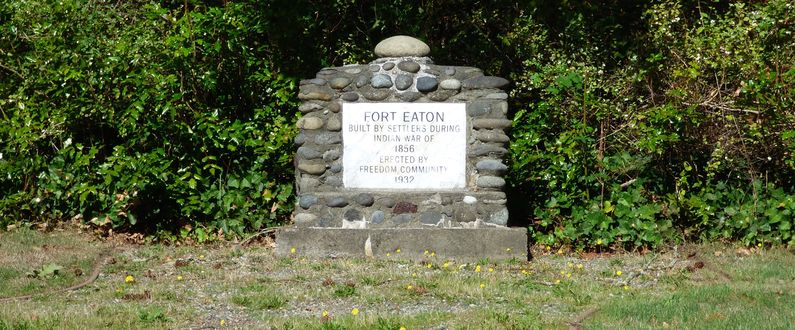
Fort Eaton (1)
|
Fort Eaton (1) (1855-1856) - A settler Fort first established in 1855 during the Washington Indian Wars on Eaton Prairie in present day Olympia, Thurston County, Washington. Named Fort Eaton after Nathan Eaton on whose land claim the fort was built. Abandoned in 1856.
HistoryEstablished in 1855 during the Washington Indian Wars on the land claim of Nathan Eaton. The fort was a stockaded square enclosing sixteen log buildings Abandoned as a fortification in 1856. Current StatusMarker on the site in Olympia, Thurston County, Washington.
See Also: Sources:
Links: Fortification ID:
Visited: 22 Sep 2015 | |||||||
