Fort Dummer (1)
| More information at Warlike, Wikidata, Wikipedia
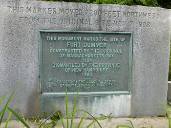
Fort Dummer (1) (1724-1763) - A British Colonial fort established in 1724 on the Connecticut River in Windham County, Vermont during Dummer's War. Named after William Dummer, lieutenant governor of the province of Massachusetts. Abandoned and dismantled in 1763.
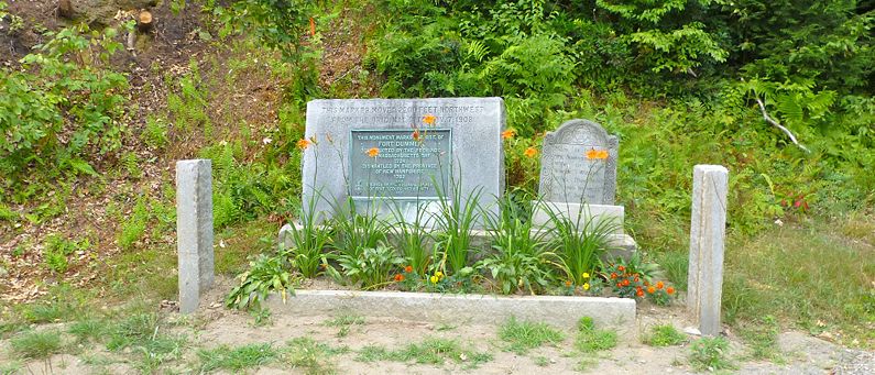
Dummer's War (1722–1725)Constructed in the spring of 1724 by troops under Lieutenant Timothy Dwight as a 180-foot square fortification, initially without a stockade. The purpose of the fort was to defend against hostile Indian attacks at Northfield and Rutland during Dummer's War. The fort mounted twelve artillery pieces, eight of which were mounted on swivels. An attack in October 1724 by seventy hostile Indians left five defenders killed or wounded and resulted in the construction of a palisade enclosing almost 1.5 acres of the post. Forty-three English soldiers and twelve Mohawk Indians garrisoned the fort in 1724 and 1725. King George's War (1744-1748)During King George's War Fort Dummer was the most northern fort in a line of sixteen forts that extended from Fort Massachusetts (3) near present-day Northampton, Massachusetts. This line of forts was subjected to frequent attacks by the French and their Indian allies. Fort Massachusetts (3) was besieged and taken by the French and Indians in 1746. French & Indian War (1754-1763)Fort Dummer was garrisoned through the French & Indian War but was abandoned and dismantled at the end of the war in 1763. Current StatusShifting state boundaries had the site originally claimed by Massachusetts, then New Hampshire, and now Vermont. The actual site is under the water behind the Vernon Dam on the Connecticut River. The site marker was moved 2200' northwest from the original location in 1908 and now resides on the west side of US Hwy 5 at the intersection with Cotton Hill Mill Road in Brattleboro. The Dummer State Park has an overlook that gives a view of the river where the fort used to be.
See Also: Sources:
Links: Fortification ID:
Visited: 20 Jul 2012
| |||||||


